D'STRETCH MARKS
The First Roman Villa Discovered in Australia
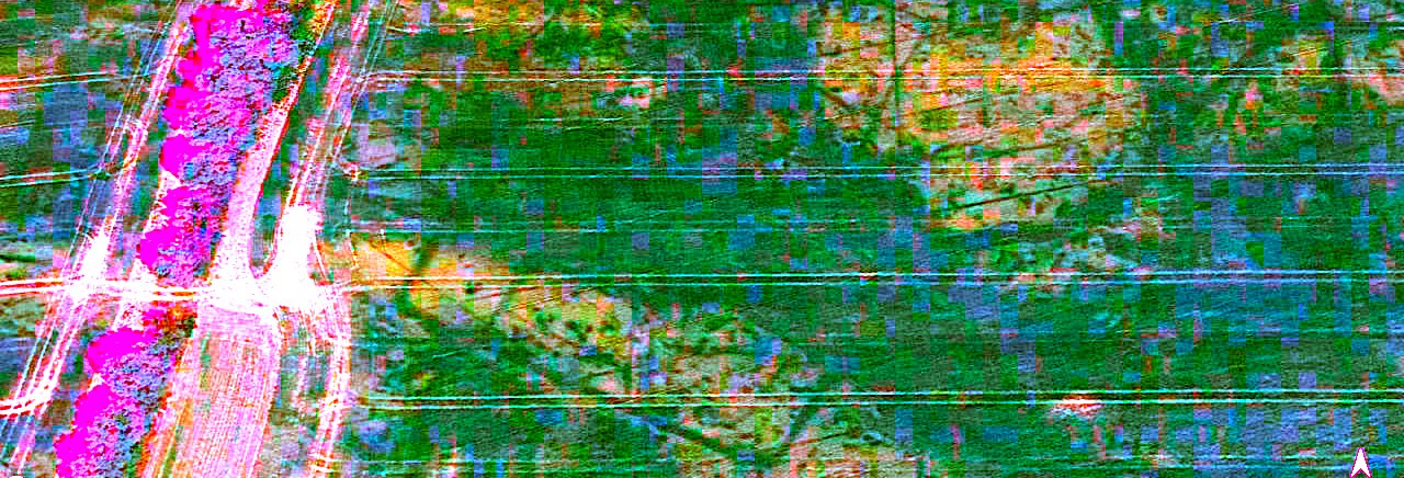
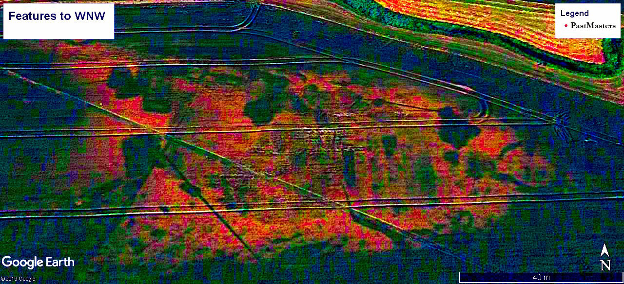
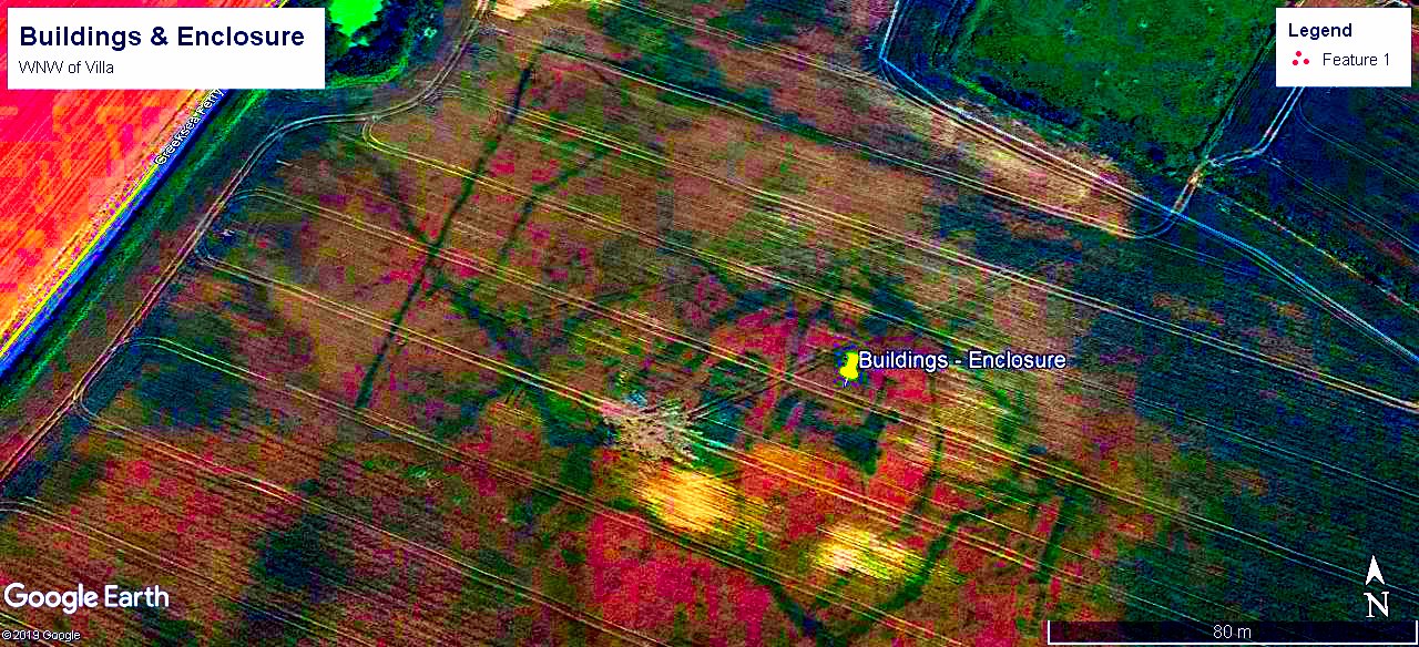
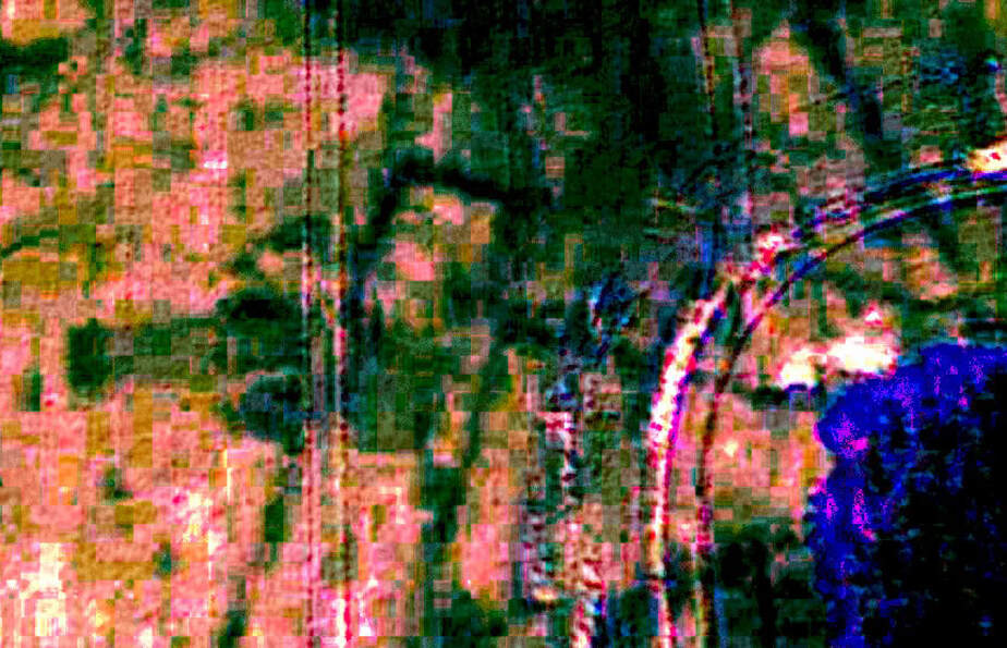
England's recent dry(ish) summers have created perfect conditions for subsurface features to become visible in Google Earth imagery. This page identifies parch marks, in a couple of square miles of countryside, which have been manipulated using the Rock Art image enhancement package D'Stretch. The software separates pigments of differing characteristics and allows the operator to display the optimum contrast. Jon Harman's D'Stretch software is simple to use and can produce useful results for analysis and presentation - as evidenced below - it is, in some instances, revelatory.
English Heritage has requested that the location be concealed because:- "although they would be protected through planning legislation, they would still be susceptible to illegal metal detecting." For this reason the mapping, text & logic cascade are cropped.
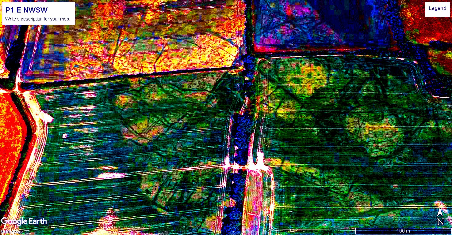
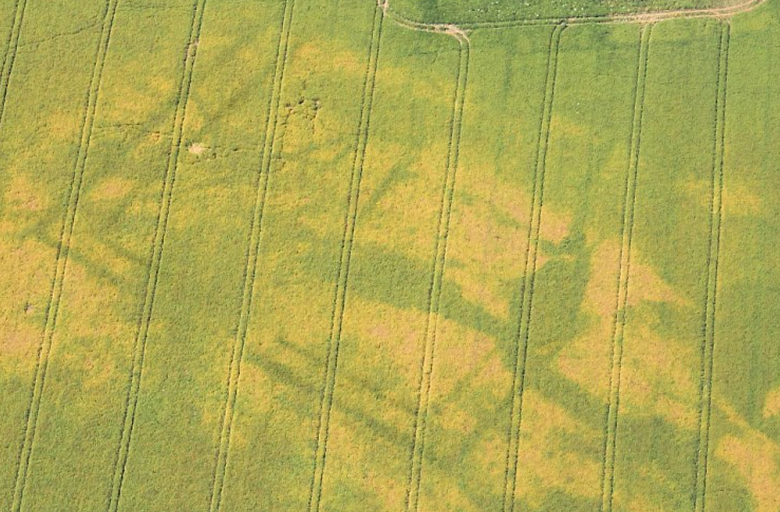
Enhanced Google Earth satellite imagery shows parch marks suggestive of a large coastal courtyard villa with south-east aspect. There are indications of significant structures to the east of the villa. To the south and south-west lies a field system – a double ditched enclosure – trackways and buildings. A prominent ellipsoidal feature is centrally located within a narrow rectilinear enclosure. Many stone tools & Saxon artefacts have been found in the vicinity.
The fertile landscape of the SE of England combines a favourable maritime trade location with readily available natural resources - enabling this site to support broadly continuous occupation for perhaps the last 12,000 years - being the end of the paleolithic (Old Stone Age) to the present. People returning to Britain after the last Ice Age, Romans, Saxons and Normans exploited the resources & position of this flat & fertile landscape.
Consideration
Some knowledge of the history of the area - modus operandi of Romans & Saxons etc. - narrows the field when looking for parch marks. Occupation of high ground verses valleys may indicate nervous incomers such as early Saxons post 410AD or periods of general warfare & local instability. The shape of field boundaries - ditched enclosures & the shape of smaller enclosures are useful date indicators. The traps are myriad and parch marks are rarely diagnostic in themselves - so it is worth finding a school playing field in Google Earth & going back through the older images.
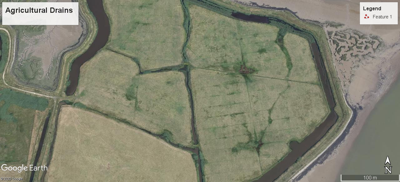
Roundhouses were the standard dwelling from the 3rd millennium BC and right through the Roman period. As bronze didn't disappear in the Iron age - the Roman rectangular stone buildings didn't replace the roundhouses though they shrank from 10m (30ft) down to 5m. A ring of posts easily supports the roof whilst un-buttressed stone walls cannot withstand the outwards pressure from the weight of the roof. This is why Roman villas (everything from a farmhouse to a palace) developed in the classic long, narrow, rectangular form which leaves such nice diagnostic parch marks. Circles may also be barrows with ditches which are all that remain visible in parch marks after the mound has been ploughed away. The landscape is peppered with circles around power transmission pylons - telephone poles and tractor turnarounds - and old ponds. The land in the SE of England has been extensively drained for millennia and these channels retain moisture like a ditch or the foundations of a stone wall.
The first Roman Fort of the 43AD invasion has not been discovered. So whilst mapping for another project, the mind strayed to thousands of centurians' rusting away in shallow drafted sailing barges on the Rhine whilst their commander, Aulus Plautius, worked out how to avoid the difficulties of the Julian 55 & 54BC excursions - manage the expectations of his master Caligula and gauge the true state of the local politics. The geography, politics and economics conspire to create favourable environments which drive people to camp in the same spot. If you wish to build a church you first must knock one down.
A ridge of dry ground runs down to the river landing. The elevated, fertile ground is suitable for a defensive encampment, there is ready access inland.
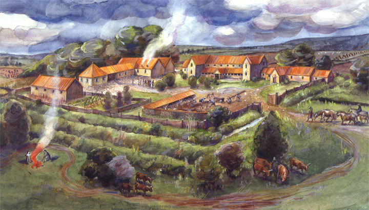
Invasion speculation aside, it is reasonable to anticipate that a Fortlet, villa, Mansio (Inn) and Vicus (satellite service town) exploited existing productive areas, respected older monuments and devolved into a Saxon estate centre & eventually a village. If you follow the valleys and search around known sites - such as the villas shown below - it won't be long before you find interesting 'parch marks' where moisture is retained or 'crop marks' where shallow soil inhibits growth.
Description
Trackways and redundant road alignments are evident. No obvious parch marks of WW2 batteries or radar installations were observed, except possibly to the north of the villa, though activity of this period may well account for some of the block features. Pillboxes along the rivers persist.
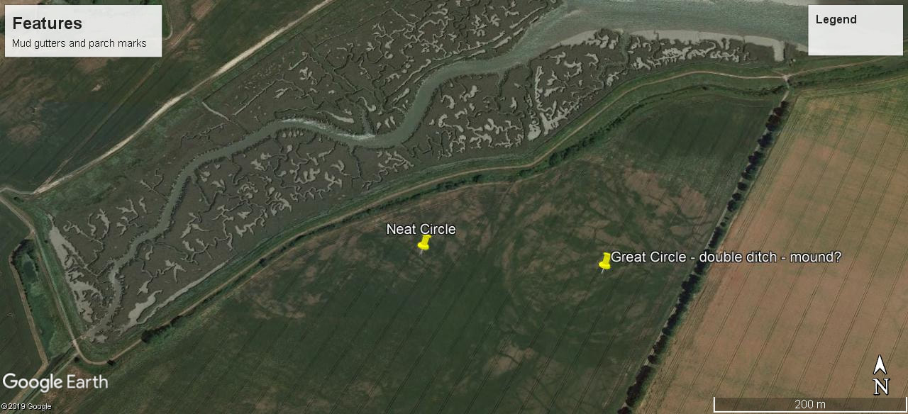
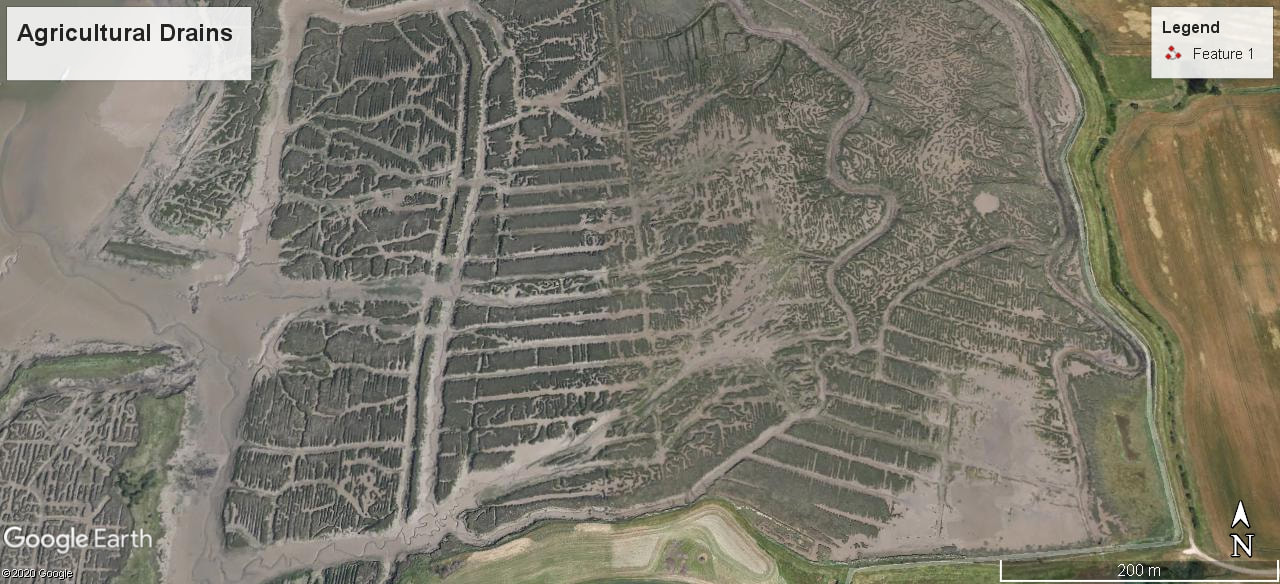
The underlying ancient estuarine alluvium retains the veins & arteries of mud gutters overlain by drainage channels and agdrain lines. These gutters persist in the inter-tidal river mud. Amongst the natural and prosaic features there are regular patterns which hint at the former occupation of the land.
Proximal Parch Marks
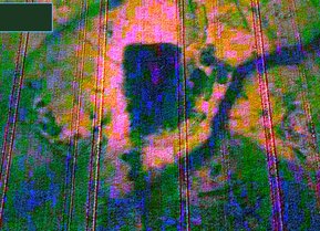
A rectangular pond feature at left lies 750ft to the NW of the villa.
It is the wrong shape for a Duck Decoy Pond - although may be a modified natural pond that has been modified. If you've no idea what it is - then it's 'ritual'. Roman water management & reverence for springs are as much signatures as the grid pattern of roads.
It appears to have 2 angular block features to the east & one to the south which may be archaeological. The villa is below the pond which may have been extended when wildfowling was at it's height.
The villa would have required a substantial water source and these were often accompanied by small temples and processional paths within a managed landscape of views and monuments.
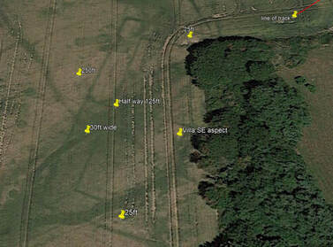
The proposed villa has a SE aspect – it is 250ft wide – the west (original) range is 30ft wide – the north and south ranges are 25ft wide and c.100ft long. Parch marks show a ‘C’ shaped structure though the eastern side abuts a copse which may obscure an range which encloses the courtyard. It is located within a rectangular wedge of farmland between.
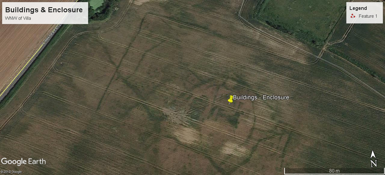
There is a cluster of what appear to be later buildings overlaying the northern end of the west range – they are on differing alignments with the suggestion of a west-facing apsidal end to the southern building. A 12' wide ditched trackway appears to run NE .
There is a cluster of what appear to be later buildings overlaying the northern end of the west range – they are on differing alignments with the suggestion of a west-facing apsidal end to the southern building. A 12' wide ditched trackway appears to run NE .
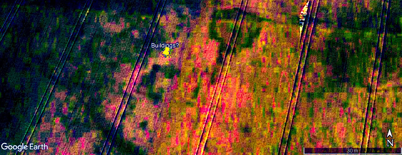
A quarter of a mile ENE of the northern corner of the villa, there are solid parch marks indicating a cluster of 3 buildings in a north-south alignment covering an area 125ft long by 50ft wide. There is the suggestion of a rectilinear enclosure to the SW. As with rock art images - there is not necessarily any relationship between features on different levels - the differentiation is not one of pigmentation but density.
The Lower Fields
The SW corner of the villa, junction of the western and southern ranges.
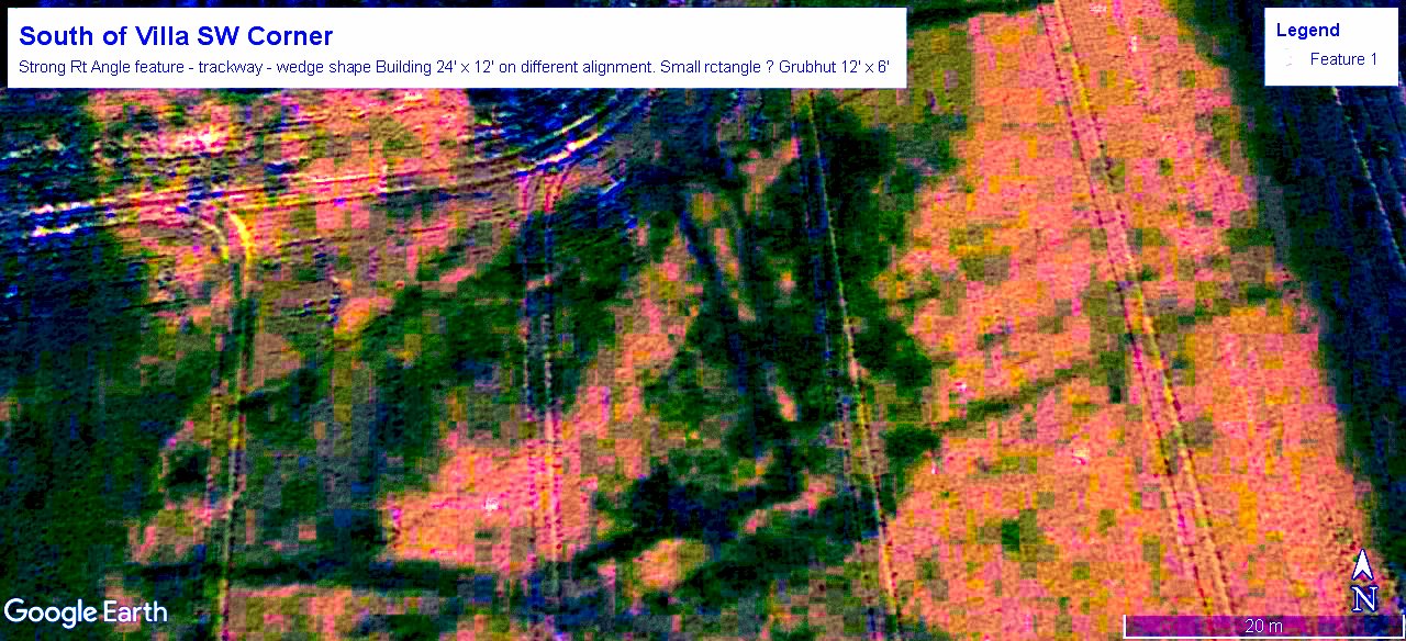
Approximately 638ft to the South of the villa corner there is a right angular feature and the suggestion of an earlier field system and trackways. The reverse L shaped feature is very strong - the tramlines at right are 20ft apart - the walls of the villa SW and NE ranges are 25ft apart if a double ditched track or enclosure it doesn't appear to go anywhere except perhaps straight to the hard right angle corner. In some villas the external wall is a solid line especially for a 2 story building whilst the internal wall appears insubstantial or segmented which may represent a colonnade. Different phases and types of construction will also give different responses. The solid wedge shaped feature at 6 o'clock is on a different alignment but there's a lot going on here.
Telegraph Poles & Electricity Pylons have exclusion areas where tractors routinely compact the ground and produce straight lines of nice sharp circles at regular intervals across the fields. Circles are also created at the ends of plough lines where the tractor turns and earth on the plough falls away & a ridge forms over time. Any routine activity can produce parch marks and this is at a gate with the suggestion of another to the west. It is unusually crisp and regular possibly the ditch formed by the stone base of a roundhouse or the trench created by the drip line. Roundhouse are usually in a cluster - even if it just the same extended family rebuilding every few centuries and moving around the area like villages & streams.
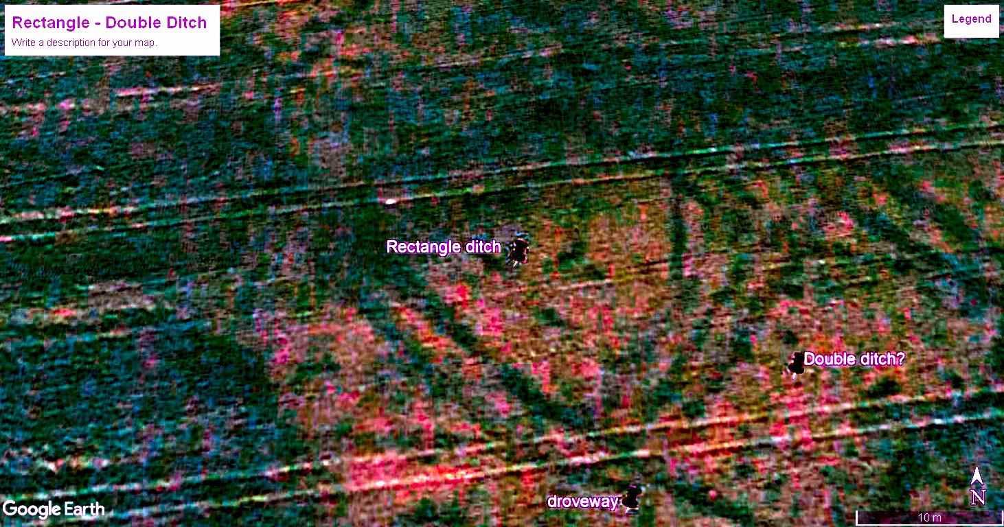
Approximately 1460ft to the SE of the villa corner lies the SE corner of what may be a double ditched enclosure with rounded corners. It lies within a complex of boundaries and underlying drainage features. Could this be the lost fort. a marching camp, an field boundary or just an overlay of field systems.
|
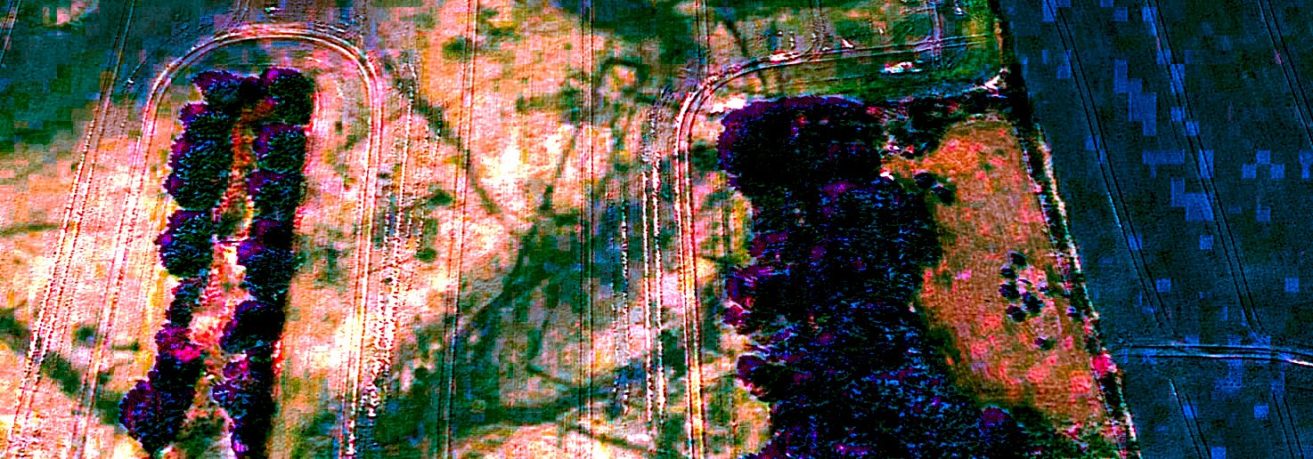
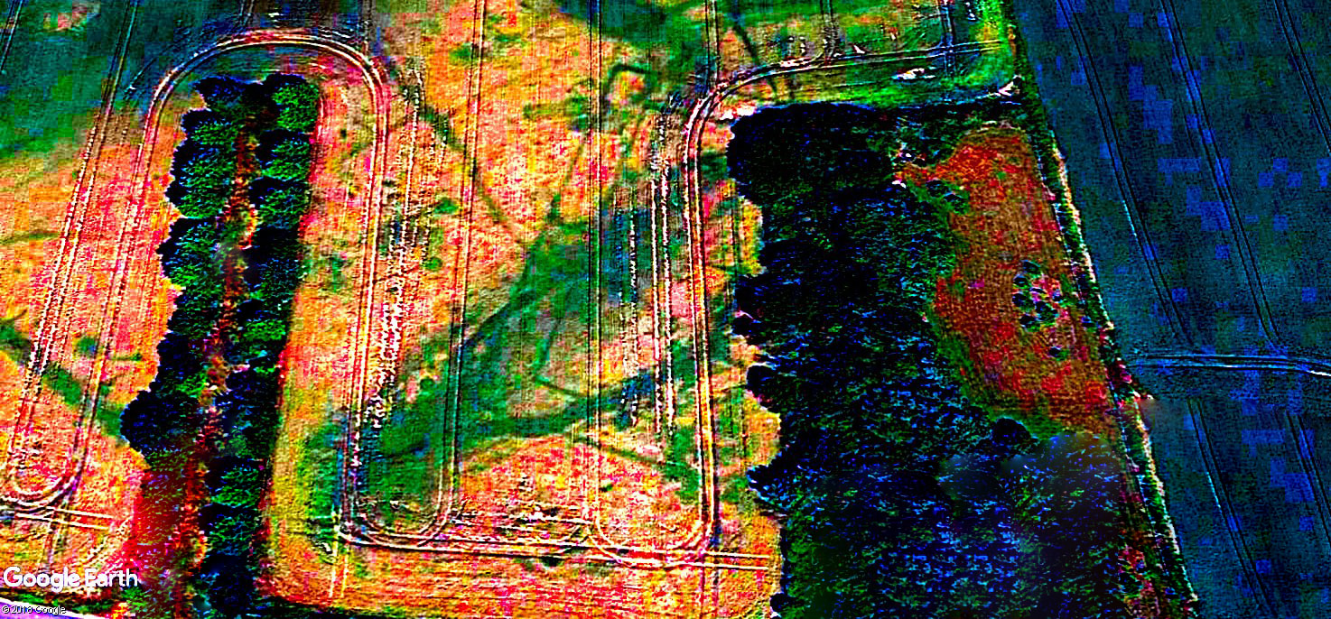
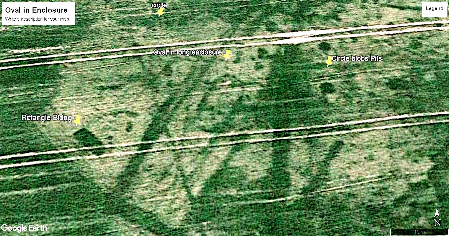
Approximately 1680ft to the SE of the villa corner there is a rectangular enclosure aligned NNE to SSW which has a centrally located oval feature 28ft x 24ft creating the appearance of a hammerhead. Some 80ft to the SW of the centre of the oval feature there lies a solid rectilinear feature 25ft x 9ft wide aligned NW/SE. To the NE there are four circular pits up to 9ft in diameter.
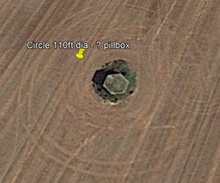
There appears to be a feature of concentric circles c50ft diameter at 11 o'clock as well as a raft of small angular anomalies. It would not be unusual for Iron Age Britons, Romano & Saxons to co-opt earlier cultural sites in a desirable spot. Re-badging native beliefs & power systems was a tenet of Roman modi operandi. The image at left shows what may be a WW2 fortified position - it demonstrates how farm machinery creates circles around electricity pylons, old ponds & outcrops of rock. This area is replete with tantalising prospects for but realistically, the chances of raising funds for geophys & a hole or two are, in round figures, zero & we've counted them twice. |
Essex Heritage Environment Record
English Heritage has been notified and stated that "I have now checked and we do have these marks recorded on the Historic Environment Record as possibly prehistoric features.
The Historic Environment Record underpins all the archaeological advice we give to the different local authorities in Essex over planning proposals, so even if development were proposed which could potential destroy these, we would be recommending that the archaeology should be adequately recorded."
Their Full Description of the Villa parch marks - 'Cropmarks of a bi-vallate rectangular enclosure' - 'a partially visible curvilinear enclosure with entrance to the east 32m in diameter, but only a small part of this enclosure is visible."
It is possible to discern the villa lines if you know they are there but it does show the difficulties for County archaeologists in a blizzard of listed buildings and protected sites. The are overstretched and under-funded so working with the local historical society which has links to universities and English Heritage is efficient and enjoyable.
The UK heritage system includes aerial photographs which have challenges but it does provide useful opportunities for advances in remote sensing to be targetted. The records shows that something is going on here but the diagnosis is superficial & will be until it is dug. More favourable conditions & consideration of anomalies within a contextual landscape help to improve the picture of the Villa Field. Overlaying the historical, geographic and geological layers with the aerial, satellite & Lidar images can help to identify representative targets for geophys & test pits and the extent of the archaeology.
Roman Courtyard Villas in UK
The villa at left is at an undisclosed site in Norfolk - the home range is at top right with the NW & SE ranges and a perimeter range at the SW with a formal entrance to the courtyard. Villas generally face south or SE for the Sun whilst others are directed to the best view. They will be in a managed network of roads, rivers and monuments. Roman roads are on a strict grid but smaller feeder roads and hollow ways are less strict.
What is a Villa
A Villa is any large, narrow, rectangular rural building, made mostly of stone, between the Neolithic & the Normans.
|
The Digest of Justinian, produced in the sixth century AD but containing points of law from as early as the second century AD, legally codified a villa:
‘By the name of fundus all the buildings and all the land are covered; but buildings in towns are called aedes, and rural ones are called villae. The place in a city without buildings is called area, and in the countryside is called ager. The same ager with a building is called a fundus.’ (L.16.211) Justinian had his own issues with the plague so he is a fellow traveller in that regard. 'Villa’ in Latin means farm. It is an economic term; it refers to the fact that the place so designated is an agricultural establishment. Any house of the Roman period may be called a villa, provided that it was the dwelling of people, somewhat Romanised in manners, who farmed a plot of land; as opposed to a town house on the one hand and a cottage on the other.’ R G Collingwood 1930. |
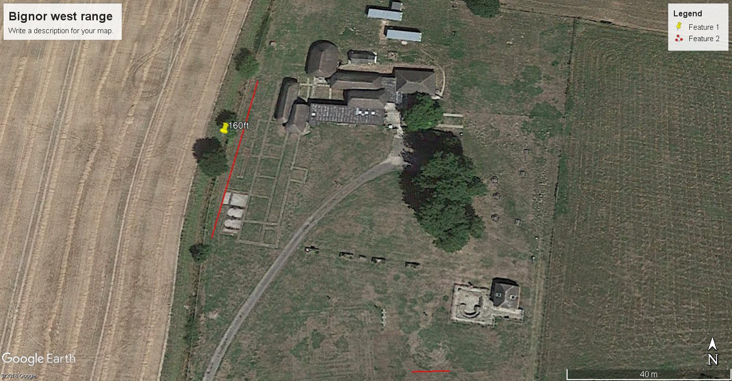
Bignor
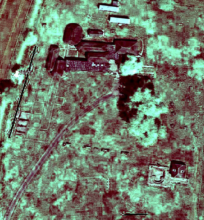
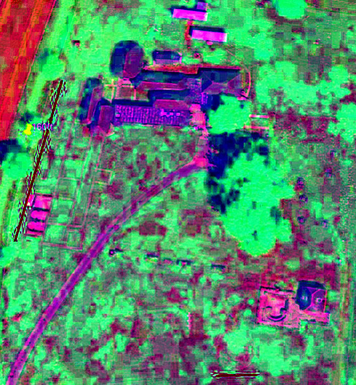
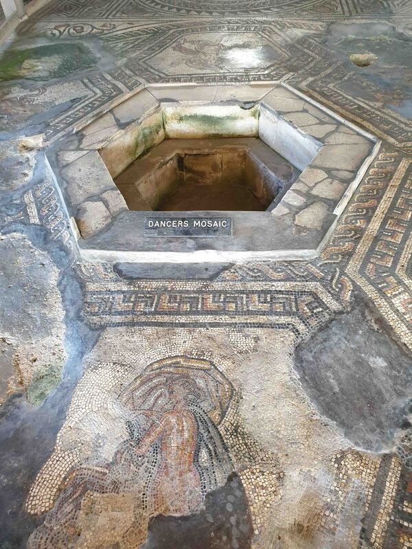
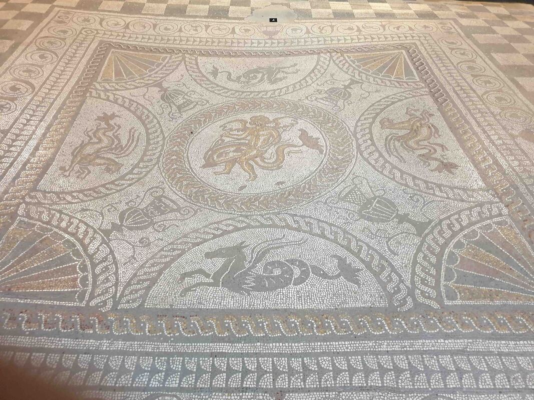
Bignor, in West Sussex, is fairly typical in shape but the mosaics are spectacular - the west range is - 160ft long.
Crop marks at bottom are the ghosts of two children's mazes - the circular one at right below the bath house has a red line.
Apparently there's a fair bit more going on in the ground - the north range holds the finest mosaics - interesting for what is lost & gained by different algorithms. GE techniques include enlarging the image from the top of the screen to give a vertical plan view - using the historical image facility & lightening GE images before using D'Stretch - backing off the magnification often improves the image.
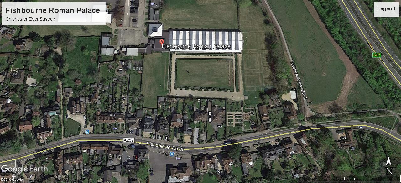
Fishbourne Roman Palace
Fishbourne is the largest Roman anything north of the Alps. The eastern range shows up clearly in the parch marks. The site is vast - runs under the houses to the south and across the road. Home owners are prohibited from digging more than 1ft below the surface and all works are strictly controlled. The site hosts legions of schoolchildren - unfortunately only noisy juniors too young to appreciate the importance of this site.
Additional Images & Features
DStretch
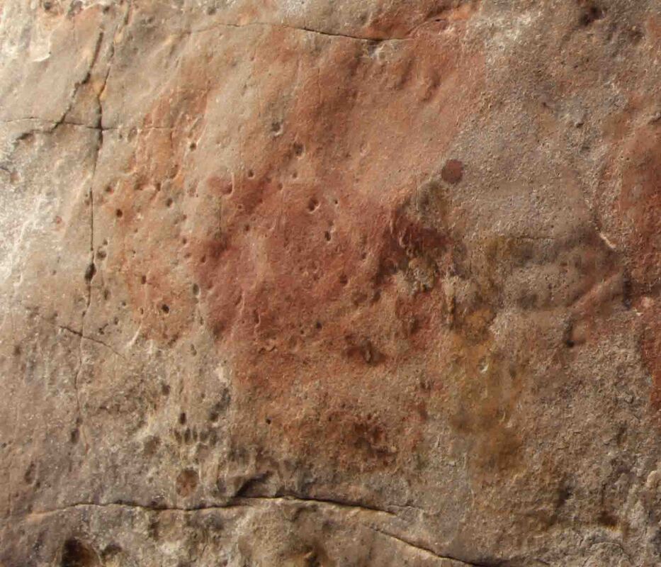
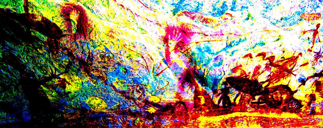
DStretch is a plug-in to ImageJ & was developed by Jon Harman as the standard tool for working with rock art - especially where images are repeatedly painted over - as in NE Arnhem Land where we have the additional delight of red ochre on iron infused sandstone which is similar to the effect of parch marks in Google Earth satellite imagery where it is the retention of moisture in walls & ditches that appears dark against a parched and so lighter landscape that provides the contrast. It may be advantageous to lighten GE images in Photoshop or play with the curves - it is an imprecise art but occasionally the results are stunning.
For further information & to download DStretch - click on the button. There is now a mandatory donation of $50 which gives access to the software - support and updates.
DStretch is available on iOS (iDStretch) and Android (aDStretch). Use your iPhone or iPad or Android phone or tablet in the field to see faint or invisible rock art images. The apps are simple to use, fast, and you can save the enhancements. They do not need WiFi or a phone connection to work.
Jon Harman has advised that this is a novel application of his software - although it was originally developed for aerial imagery. It is hoped that any hours of Covid19 enforced isolation will be whiled away in time travel and the treasure hunt. It is also anticipated that those with knowledge of useful guides and resources will make contact through the PastMasters Facebook page and these can and be added to feed the addiction. Things like a digital overlay of the UK's maps of Roman Britain & Stone Age Britain and some guide to the shape and dates of field boundaries - Enclosure Act etc. - would be handy especially with the proliferation of Lidar.
Sources & Resources
Thanks to George Lambrick for introduction to these extraordinary resources. For English Heritage via the Gateway - full access is simply by joining which is free. You will receive an Historic England 'Heritage Passport' and password. English Heritage produce a range of 'How to' publications on every aspect of heritage management. A master-class in heritage engagement which would greatly improve the situation in Australia.
You can use your English Heritage Passport to:
|
Maritime Archaeology
| coastal_villas_paper.pdf | |
| File Size: | 1391 kb |
| File Type: | |
Ice Age Parch Marks
|
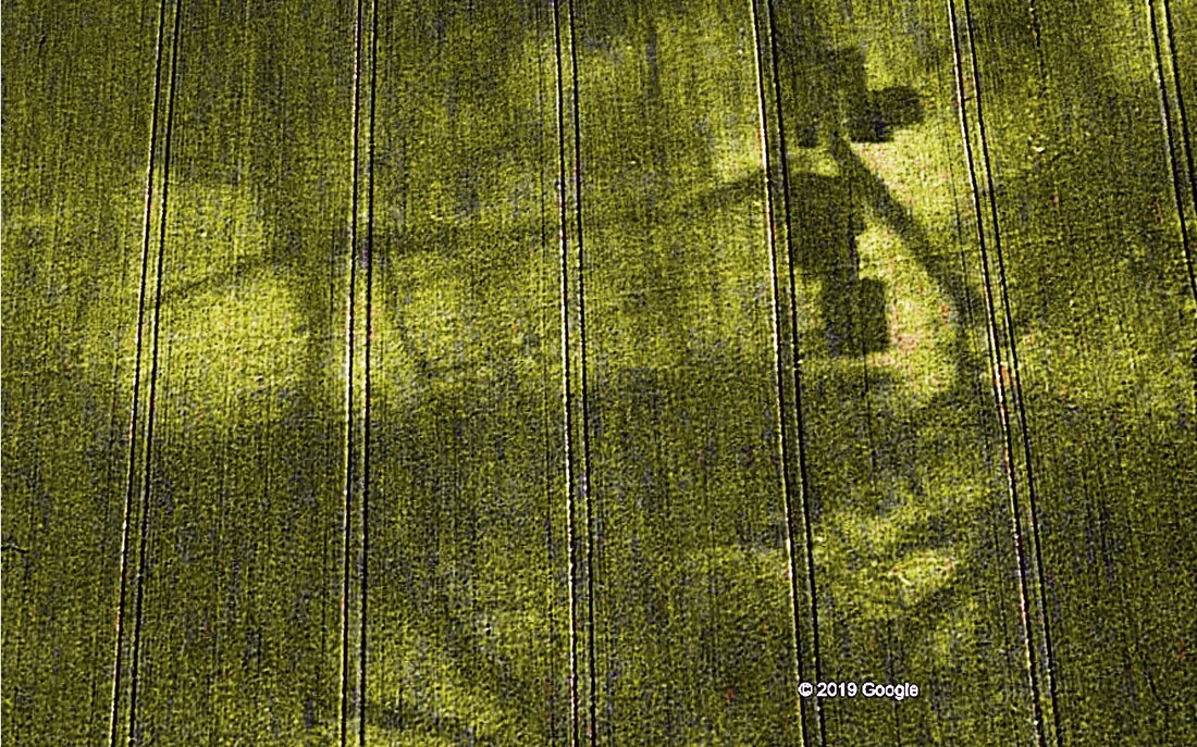
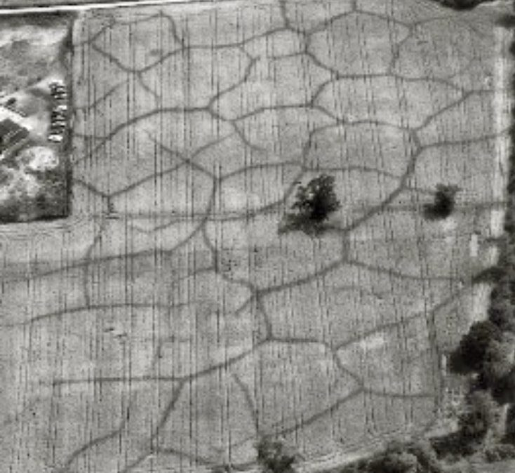
'Perhaps the most spectacular evidence of the Devensian {c. 115,000 – c. 11,700 years ago} cold stage is the network of ice wedge polygons that are occasionally revealed by crop marks in fields during hot, dry summers.
Ice wedges are formed when the frozen ground shrinks and cracks during times of extreme cold. Each summer the cracks filled with water which then froze the following winter widening the cracks; a process that continued for thousands of years. At the end of the glacial stage the crack filled with debris preserving them as ice wedge casts, which are now revealed as crop marks.' Archaeologists may be alerted to this phenomenon by finding rocks standing on end in the earth having fallen down a crack. |
