YIRRKALA
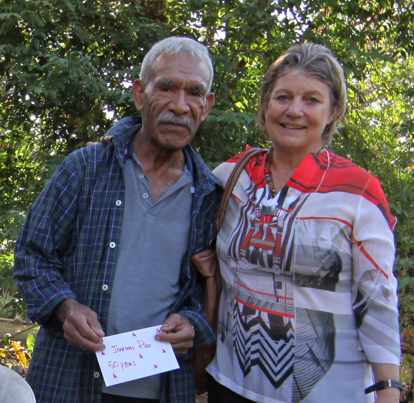
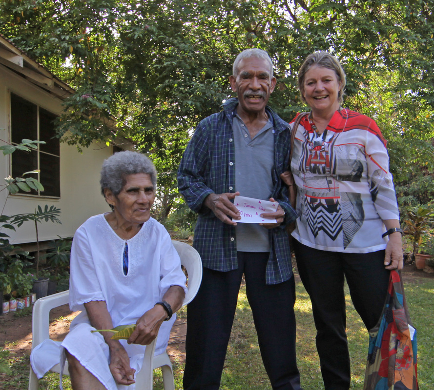
Celebrating 80 Years of Service & Jonetani Rika's Half a Century in Arnhem Land
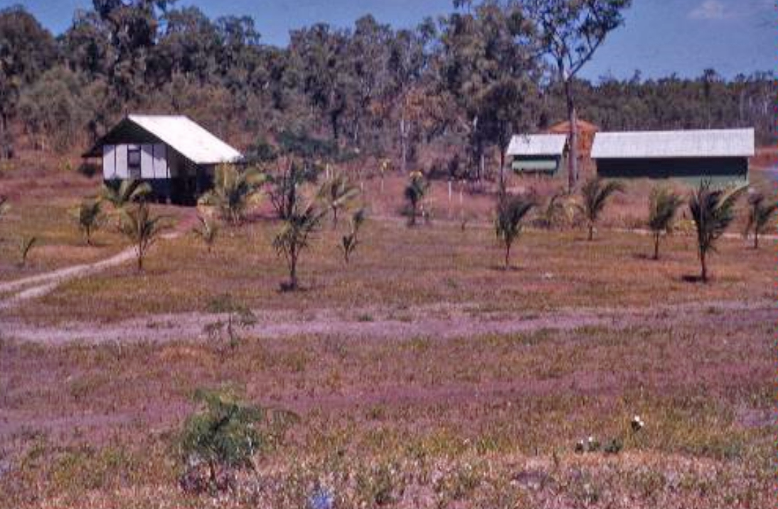
Following a series of violent incidents - including the killing of Japanese trepangers by Wonggu's sons near Caledon Bay in the Gulf of Carpentaria - there was pressure to create a mission on the Gulf coast of Arnhemland. This was in the Methodist's area of operations and a site was selected by Revs. TT Webb & Wilbur Chaseling. In 1935 the Chaselings arrived to commence the Mission with assistance from Harold Shepherdson and crew from Milingimbi where cypress pine from the surrounding area was milled.

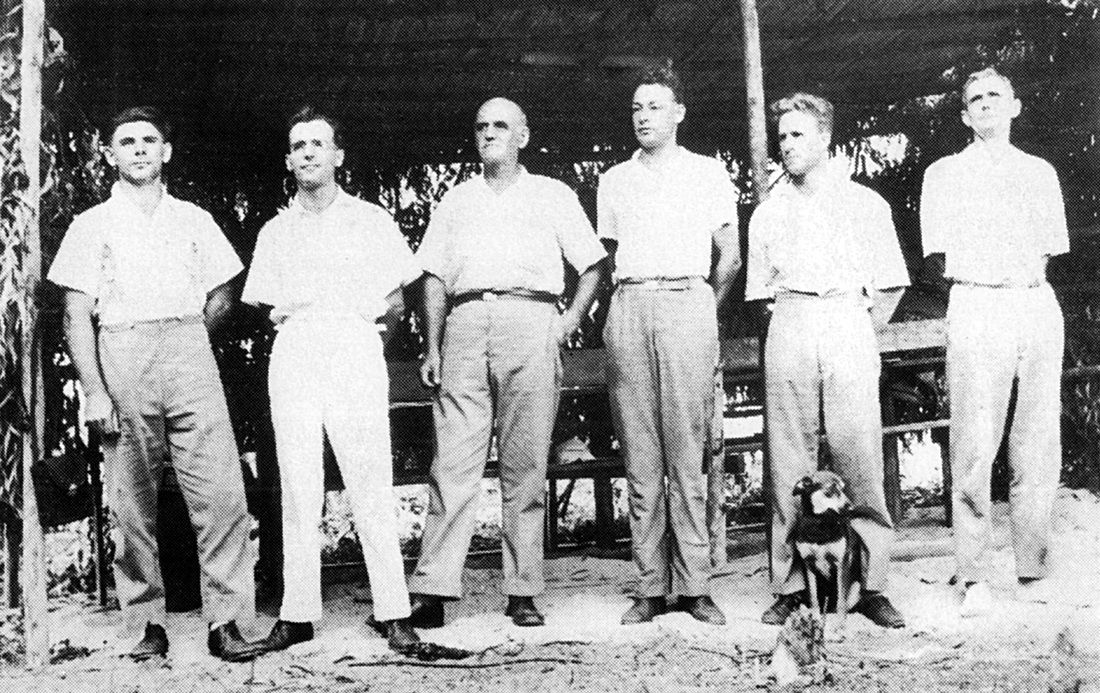
Harold Shepherdson image - 1st church service at Yirrkala Sunday 22nd September 1935. Standing L>R Yoram Baduan boat captain - Rev. & Mrs Wilbur Chaseling (who started the Mission - Andrew - Mrs & Rev. TT Webb.
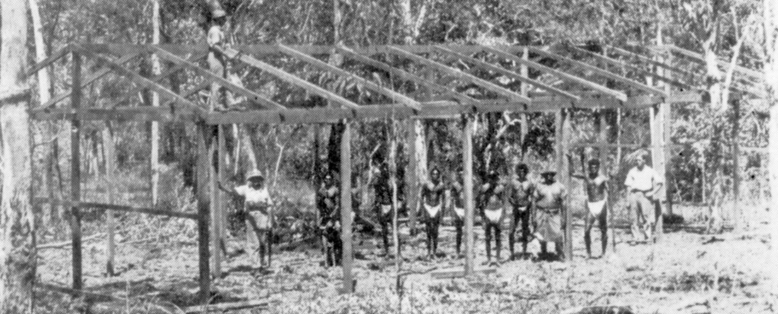
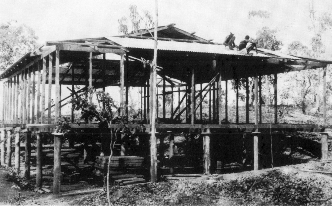
Bapa Sheppy image - The first building erected at Yirrkala with timber from Milingimbi - a store with a dispensary on the end.
POTTED HISTORY OF YIRRKALA
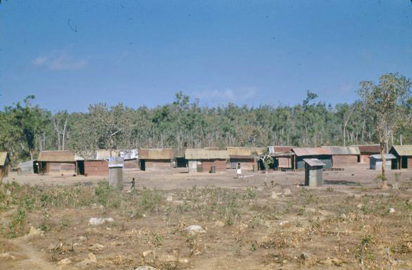
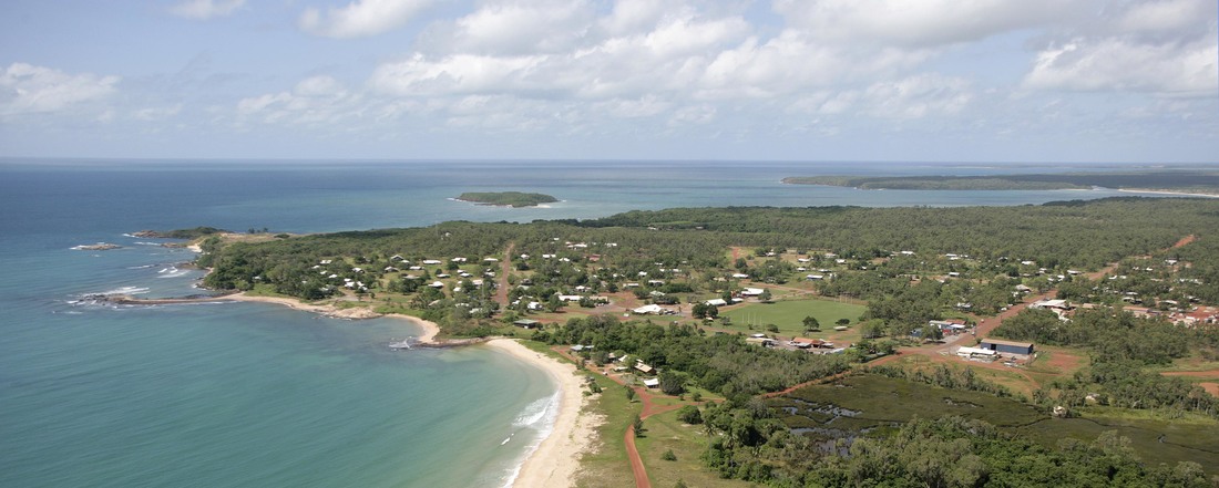
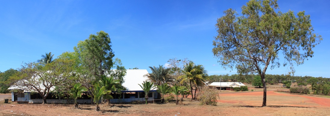
Yirrkala is 30km from Nhulunbuy in East Arnhemland on the Gove Peninsula. It has a population of about 1000 residents – mainly Yolngu. Yirrkala played a significant part in securing Aboriginal Land Rights when a bark petition was created in 1963 (on display in Parliament House Canberra) and sent to the Federal Government to protest at the Prime Minister’s announcement that part of their land was to be leased for bauxite mining.
Although the petition itself was unsuccessful it alerted mainstream Australians to the need for Aboriginal representation in such decisions and prompted a government report recommending payment of compensation, protection of sacred sites, creation of a parliamentary standing committee to oversee developments at Yirrkala. It is cited as the wellspring of the land rights movement.
Although the petition itself was unsuccessful it alerted mainstream Australians to the need for Aboriginal representation in such decisions and prompted a government report recommending payment of compensation, protection of sacred sites, creation of a parliamentary standing committee to oversee developments at Yirrkala. It is cited as the wellspring of the land rights movement.
Homelands Movement
The Laynhapuy Homelands Association, clinic & air wing and the adjacent Homelands School are standout examples of the benefits of configuring communities as resource hubs to support people on their own country rather than refugee camps where displace groups cluster upon another's land.
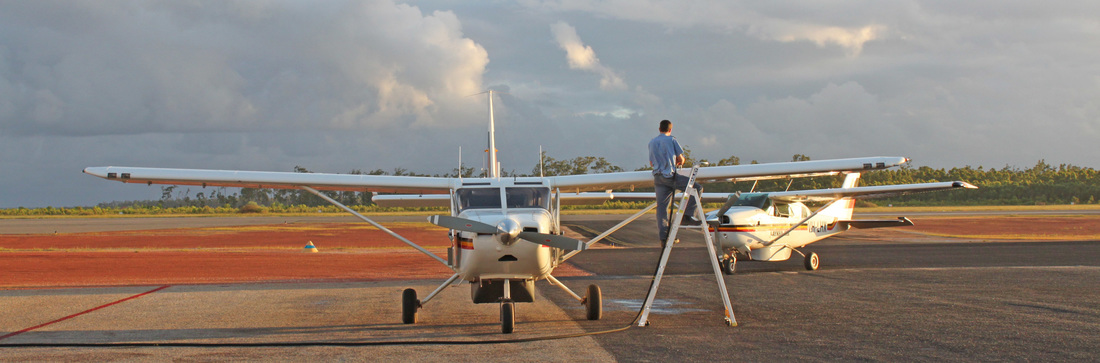
Laynhapuy Homelands Assn. airwing was created largely through the efforts of the late Adrian Wagg. In 1936 the Shepherdsons flew to Yirrkala in the Miles Hawk to start work on the first house for the Chaselings. Sheppy & Chaseling subsequently dropped the Hawk on Groote Eylandt from where it was retrieved on Donald Thomson's boat St Nicholas. It took the Sheppys 12 years to save enough for a Tiger Moth.
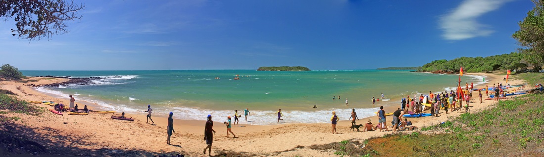
The Walngawu Djakamirri Surf Lifesaving Club was opened in August 2009. As part of the water safety program commenced in 2007 with strong support of Surf Life Saving NT, almost 90 Yolngu children have completed their Surf Rescue Certificate. Many have been awarded Bronze Medallions.
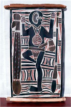
The Yirrkala Buku-Larrnggay Mulka Art Centre provides strong support in maintaining the cultural heritage of the local community. Centre staff and volunteers teach bark painting and traditional crafts to children and adults. Two four metre tall Yirrkala Church Panels (1962-3) that have been described as amongst the most important Australian art in existence is displayed at the centre.
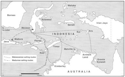
Pre-Macassans > Dutch > Macassans
There is evidence that before the Macassan fleets the Gove Peninsular was visited by 'sea gypsies' the Samu Bagu people.
Malay Road From Pobassoo Island W. Westal
 Hati Marege Hati Marege
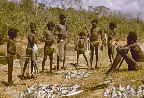
From perhaps 1650 it is suggested that there were occasional visitors whose prospecting voyages were precursors to the industrial trepang fisheries trade that began in approximately 1750 when the coast was visited annually in the Wet season by fleets of trepang fishermen's paru from Macassar, South Sulawesi, in search of trepang – sea slugs {beche de mer} which were highly prized by the Chinese as a delicacy with medicinal properties. They also collected turtle shell, pearl, hardwood and perhaps sandalwood, iron ore & gold. This was the beginning of Australia's first international trade.
|
|
The Macassan people forged strong trading relationships with the Yolngu that lasted until 1906/7 when changes to where customs duties could be paid and the opening up of new trepang grounds to the north, conspired to end the trade which had been in terminal decline for many years.
Items that were traded included cloth, rice, tobacco, alcohol, iron knives and tomahawks. The loss of an annual supply of dugout canoes was felt particularly keenly as the technology for their construction had not been passed on to Aboriginal people.
Macassans influence is everywhere evident in Arnhemland culture - permeating all spheres of material and ethereal activity. Macassarese was the lingua franca across the Top End until the advent of the Missions in the early 20th century, when English usage became widespread.
Yirrkala foreshore - HMAS Patricia Cam Memorial at right.
Japanese Trepangers
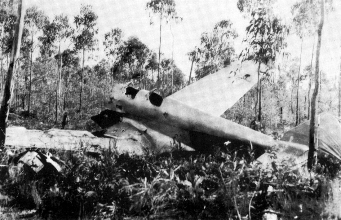
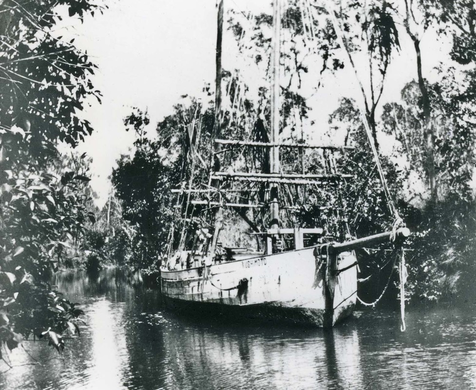 Japanese crewed lugger washed up at Milyakburra - Bickerton Island.
After the Macassans ceased coming to the area 1906/07 season, other groups including the Missions and Darwin based trepang boats with Japanese crew worked these northern shores in search of trepang and oyster.
Prior to WWII the large Japanese pearling fleet moved from off Bathurst Island to the area to the west of the Wessel Islands. According to some reports, Yolngu women were engaged to assist in recovering oysters which were traded for steel, tobacco and alcohol.
There were reportedly conflicts due to poor working conditions and exploitation, as well as a desire to possess their goods.
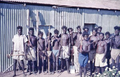
The ability of the Yolngu to successfully kill Japanese with spears was central to their recruitment in WWII by Donald Thomson for the Northern Reconnaissance Unit.
Prior to WWII the large Japanese pearling fleet moved from off Bathurst Island to the area to the west of the Wessel Islands. According to some reports, Yolngu women were engaged to assist in recovering oysters which were traded for steel, tobacco and alcohol.
There were reportedly conflicts due to poor working conditions and exploitation, as well as a desire to possess their goods.
The ability of the Yolngu to successfully kill Japanese with spears was central to their recruitment in WWII by Donald Thomson for the Northern Reconnaissance Unit.
The Second World War 1939-1945
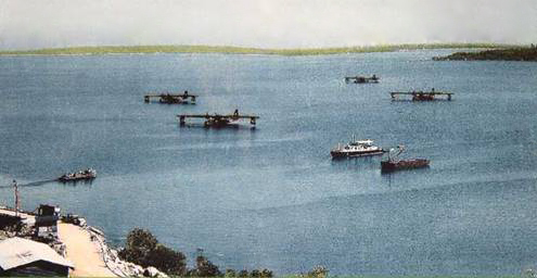 Drimmie Head Catalina base 1945 - Russell Family, Cairns
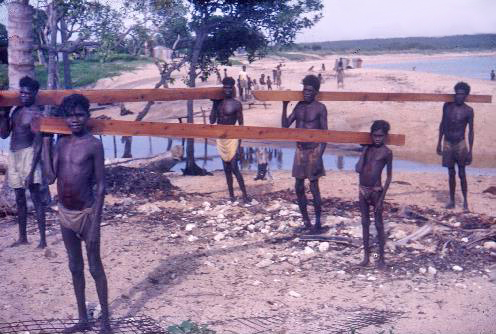
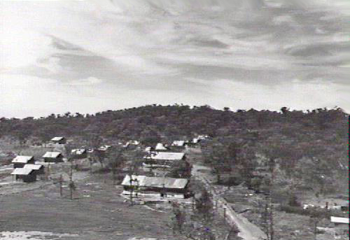
The RAAF 8 Airfield Construction Squadron built a sealed runway near Yirrkala and a Catalina flying boat base at Drimmie Head – near Gunyangara, to counter a threat from invasion. The WWII airstrip was named Gove, after Flight Sergeant William Gove who was killed in a mid-air collision near Milingimbi in 1943. During the post war period, the entire area became known as the Gove Peninsular where approximately 5000 servicemen were stationed during WW2. The military enlisted Yolngu as labourers and trackers. The threat to Australia diminished by the time the airstrip was completed. The war years provided benefits such as access to medical assistance, new skills and wages. The Yolngu had become accustomed to these Western items which created discontent when they were no longer available after the war.
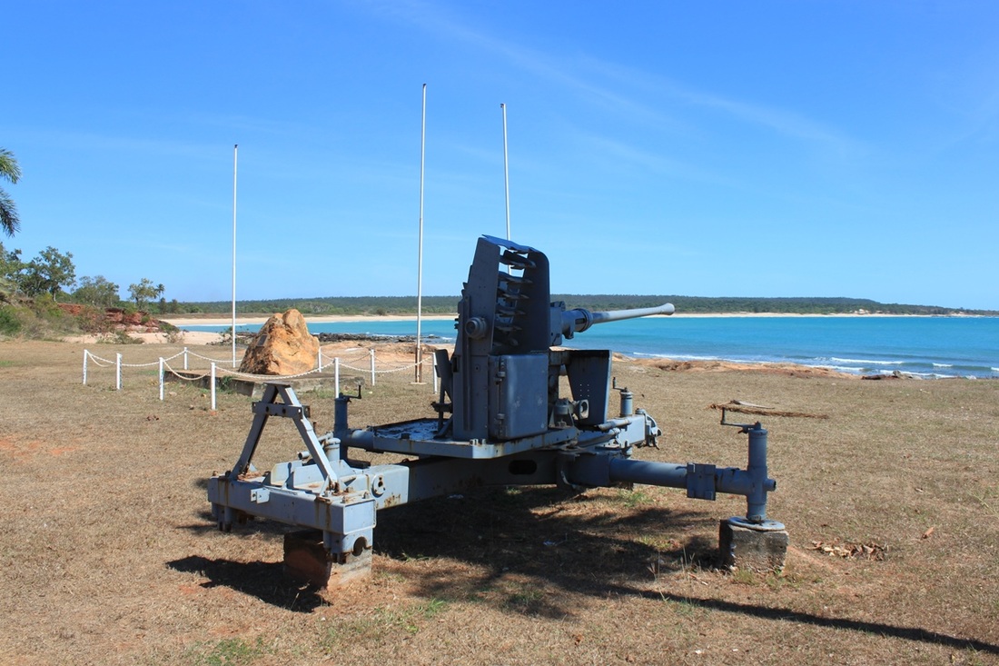
Some 50 Yolngu men, drawn from the Arnhem Bay & Caledon Bay areas, were trained and served under Donald Thomson in the North Australian Special Reconnaissance Unit during the early 1940’s, monitoring the coast for an anticipated Japanese invasion. A monument on the foreshore of Rocky Bay commemorates those who served.
The Yirrkala Missionary Harold Thornell was performing coast-watching duties with the assistance of local people and routinely reporting enemy activity to Darwin over the radio. In 1943 he was anxious to receive new code books as he was unable to decipher messages and so sent three young men by canoe on a 200 mile round trip to Elcho Island to check the mail. They fatefully accepted the offer of a ride back on HMAS Patricia Cam which was bombed just north of Elcho and only Narritjin returned. A memorial is proposed to commemorate the sinking which also resulted in the loss of the Rev. Leonard Kentish.
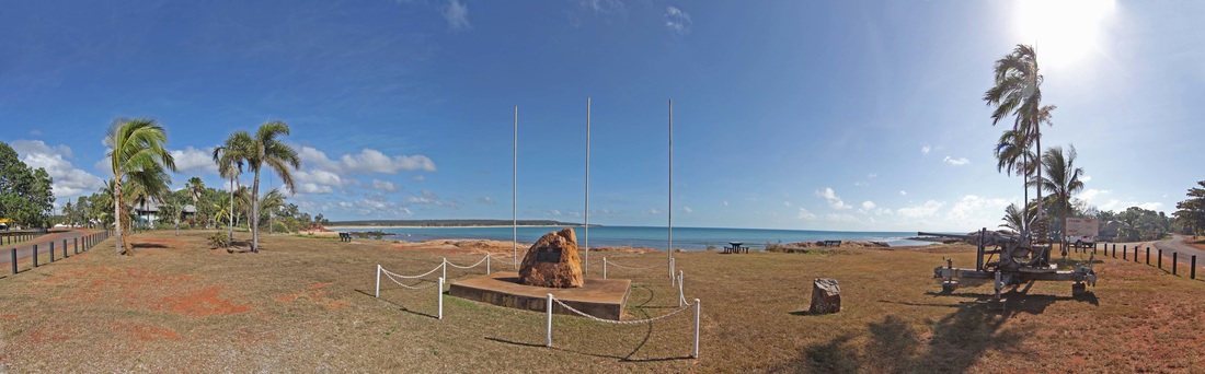
The War Memorial at Rika Park
Bauxite Mining 1950 -
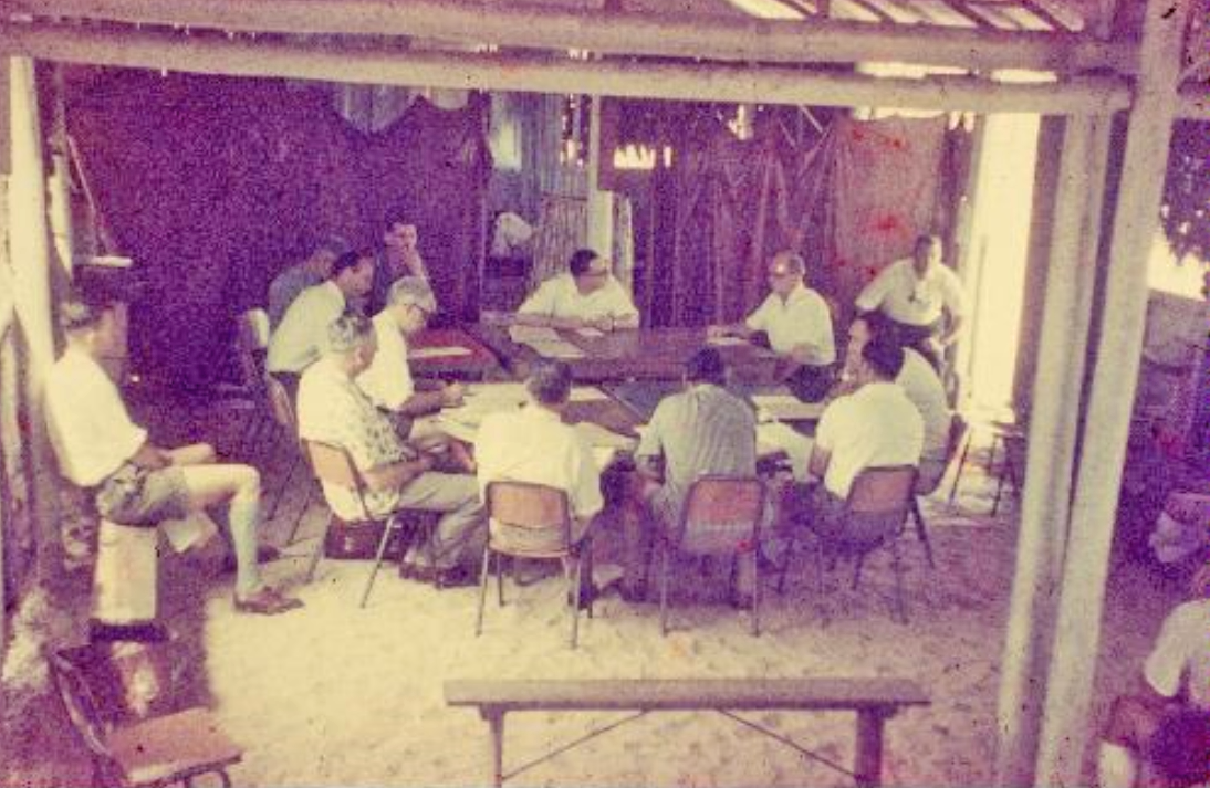
Until the 1950’s, north east Arnhemland was quite protected from the outside world by the remoteness and difficult access. In 1952 geological exploration discovered one of the worlds largest deposits of bauxite on what was known as the Gove Peninsula. Special mining leases were granted in 1958 and 1962. In 1963 the Yirrkala Yolngu forwarded a bark petition to the Commonwealth Parliament to mark their opposition and concern. These bark petitions are quite significant as they are the first documents bridging Commonwealth law as it then stood. These petitions from the Yolngu people of Yirrkala were the first traditional documents recognised by the Commonwealth Parliament and are therefore the documentary recognition of Indigenous people in Australian law.
A consortium of Australian and Swiss firms named Nabalco was formed in 1964 to mine the bauxite ore body. The petition did spark a Joint Parliamentary Committee enquiry however, an agreement between the Commonwealth and Nabalco was formalised in 1968. This was unsuccessfully appealed by the Yolngu people and by 1973, the mining township of Nhulunbuy had been established with a permanent population of non-indigenous residents.
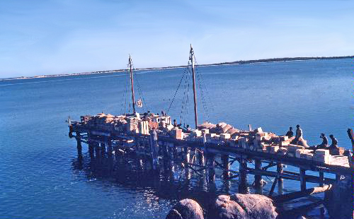
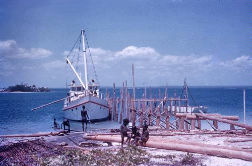
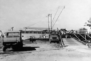
The NTL image PH0150/0001 by Hans Werner on 26/2/1966 shows the old mission jetty in Melville Bay with the first bauxite shipment of 6001 in bags bound for Porto Marghera refinery in Italy aboard MV Minnibasse (Denmark).
A consortium of Australian and Swiss firms named Nabalco was formed in 1964 to mine the bauxite ore body. The petition did spark a Joint Parliamentary Committee enquiry however, an agreement between the Commonwealth and Nabalco was formalised in 1968. This was unsuccessfully appealed by the Yolngu people and by 1973, the mining township of Nhulunbuy had been established with a permanent population of non-indigenous residents.
The NTL image PH0150/0001 by Hans Werner on 26/2/1966 shows the old mission jetty in Melville Bay with the first bauxite shipment of 6001 in bags bound for Porto Marghera refinery in Italy aboard MV Minnibasse (Denmark).
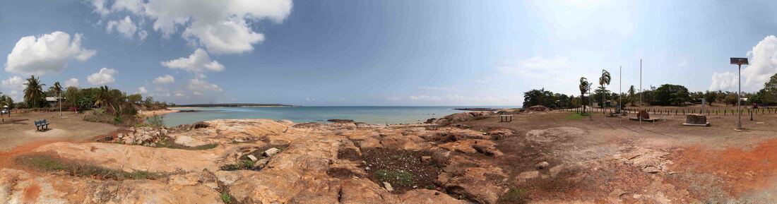
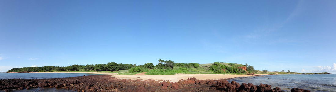
Yirrkala foreshore looking north to the community from Shady Beach
The Bark Petition
TO THE HONOURABLE SPEAKER AND MEMBERS OF THE H0USE OF REPRESENTATIVES IN PARLIAMENT ASSEMBLED.
The Humble Petition of the Undersigned aboriginal people of Yirrkala, being members of the Balamumu, Narrkala, Gapiny, Miliwurrwurr people and Djapu, Mangalili, Madarrpa, MagarrwanaImirri, Djambarrpuynu, Gumaitj, Marrakulu, Galpu, Dhaluangu, Wangurri, Warramirri, Naymil, Riritjingu, tribes respectfully showeth:
1. That nearly 500 people of the above tribes are residents of the land excised from the Aboriginal Reserve in Arnhem Land.
2. That the procedures of the excision of this land and the fate of the people on it were never explained to them beforehand, and were kept secret from them.
3. That when Welfare Officers and Government officials came to inform them of decisions taken without them and against them, they did not undertake to convey to the Government in Canberra the views and feelings of the Yirrkala aboriginal people.
4. That the land in question has been hunting and food gathering land for the Yirrkala tribes from time immemorial: we were all born here.
5. That places sacred to the Yirrkala people, as well as vital to their livelihood are in the excised land, especially Melville Bay.
6. That the people of this area fear that their needs and interests will be completely ignored as they have been ignored in the past, and they fear that the fate which has overtaken the Larrakeah tribe will overtake them.
7. And they humbly pray that the Honourable the House of Representatives will appoint a Committee, accompanied by competent interpreters, to hear the views of the people of Yirrkala before permitting the excision of this land.
8. They humbly pray that no arrangements be entered into with any company which will destroy the livelihood and independence of the Yirrkala people.
And your petitioners as in duty bound will ever pray God to help you and us.
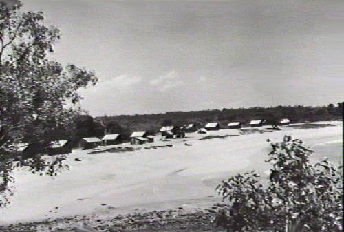
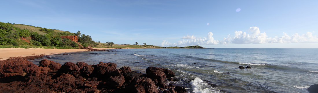
Shady Beach Yirrkala
Naming of Nhulunbuy Township
By 1966 mining development in the area was increasing and the District Postal Manager wrote to the Department of Lands in Darwin, asking for the appropriate name for the proposed Post Office to serve the development of bauxite deposits by Nabalco Pty Ltd. Nabalco preferred and recommended “Gove” as did the Welfare Branch and the Commonwealth Government in support of such an important mining development.
In 1968 the Surveyor General responded to the Northern Territory Director of Welfare, regarding a complaint about the name “Mount Saunders” that the Yolngu had raised through Reverend Wells, wanting it changed to “Nulanboi” or “Nhulumbuy”. As the Yolngu had no land rights at this time and the land was deemed crown land”, it was opposed to rename the area.
The Yolngu were unhappy and wrote letters to newspapers and government wanting it named Nhulunbuy. They presented a bark painting of Wuyal and a petition to the Commonwealth Parliament stating they wanted the town to be called Nhulunbuy.
Wuyal was an ancestral spirit being, a sugarbag hunter who gathered wild honey and travelled in this area. As he travelled, he marked the track with his footprints, he gave names to places that he passed through. As Wuyal walked up the hill, he was covered in the blossom from wattle trees that stuck to the honey he had collected. He named the place Nhulun.
Nhulunbuy is the name of the township which is named after the hill area of Mount Saunders which was named by Mathew Flinders in 1803 after Robert Saunders Dundas viscount Melville, who was the first lord of the Admiralty who funded the voyage.
After much correspondence with various Government departments, four months after the bark was presented, the decision was made to officially name the town NHULUNBUY.
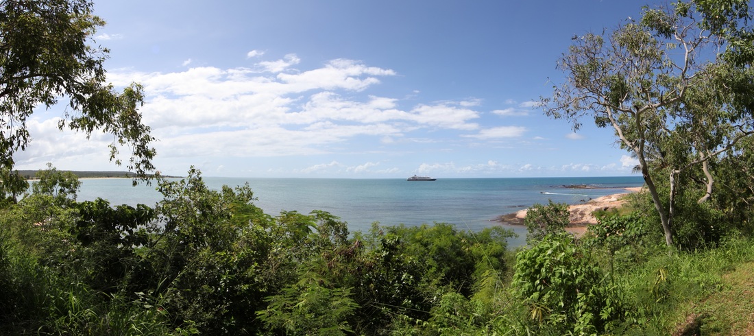
A cruise ship moored in Rocky Bay
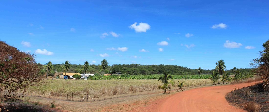
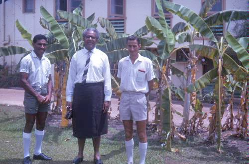
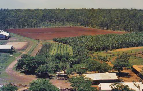
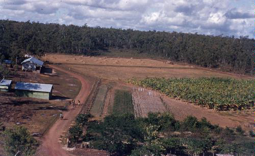
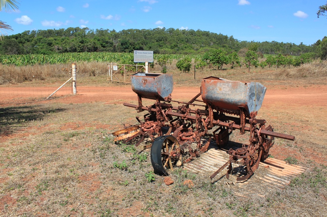
The banana plantation once operated as an Annay or Grange supporting the expenses of the missionary it is today operated by Bunuwal Industries.
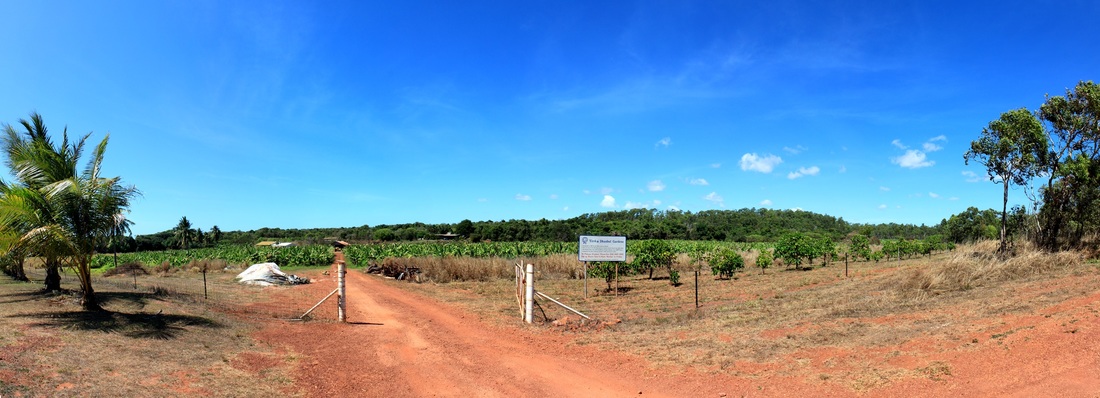
Entrance to the Banana Plantation
Yirrkala Church