NT FLEET REVIEW
A Notional Fleet Review of Significant Vessels in Northern Territory History
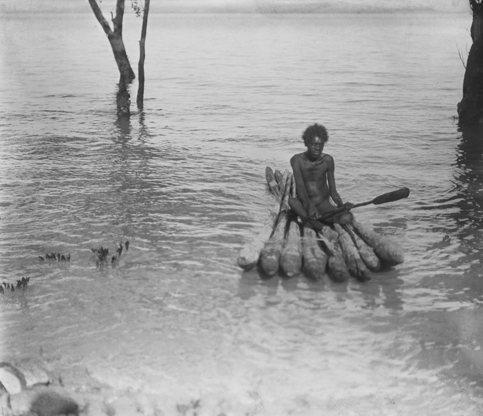
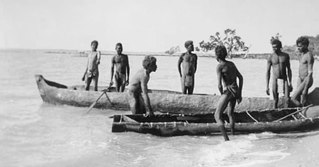
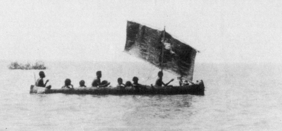
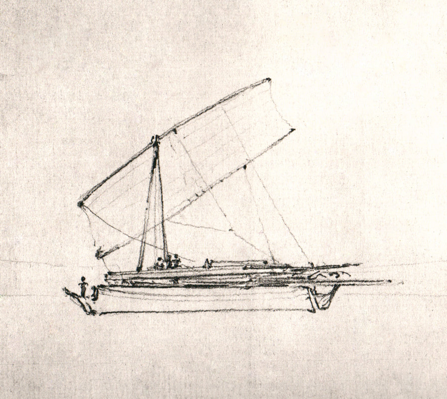
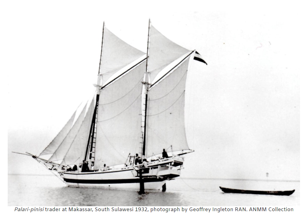
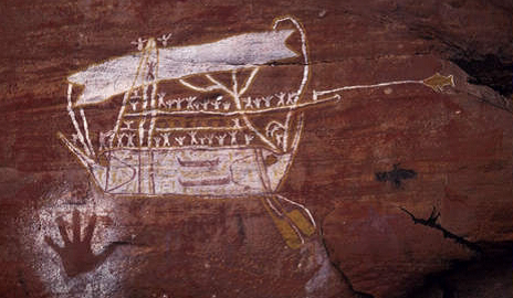
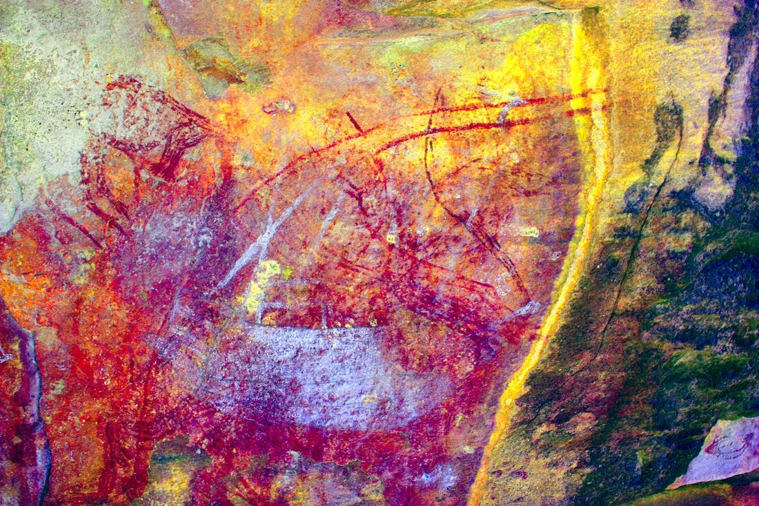
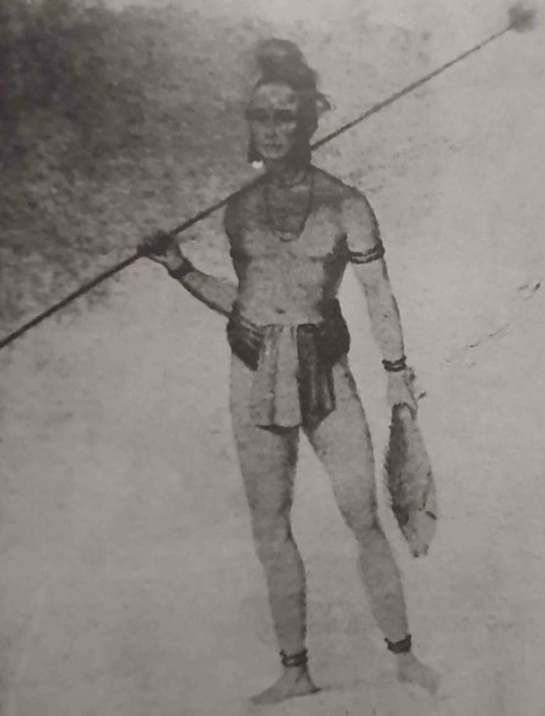
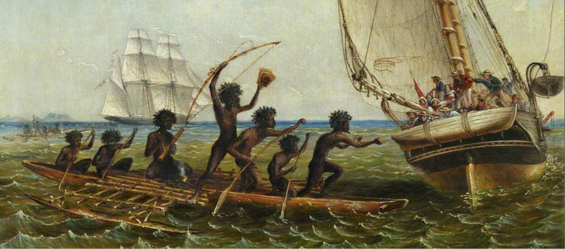
The Bundled Raft & Paper Bark Canoe are indigenous constructions whilst the 'Malays' more recently called the 'Macassan' trepang fishermen brought dugout canoes on their seasonal forays - leaving them behind at the end of the season by way of inducement for future peaceful encounters. After the trade ended with the 1906/7 season - the Aboriginal people were unable to build new ones so that Macassans were brought back to transfer the knowledge. During the time of Victoria Settlement in Port Essington (1839 - 1848) - a partially built dugout was seen near Trepang Bay during an excursion.
Macassan Prau
The Dutch VOC
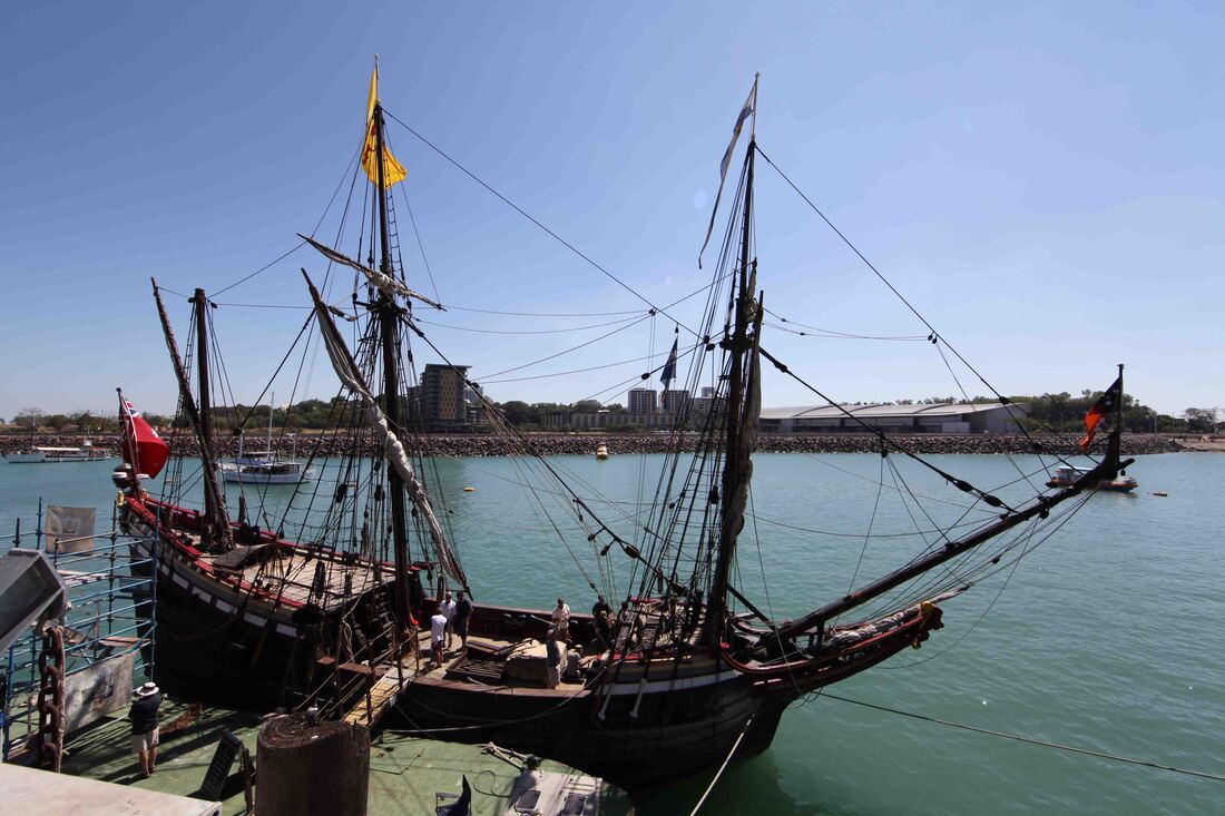
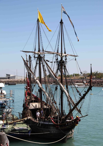
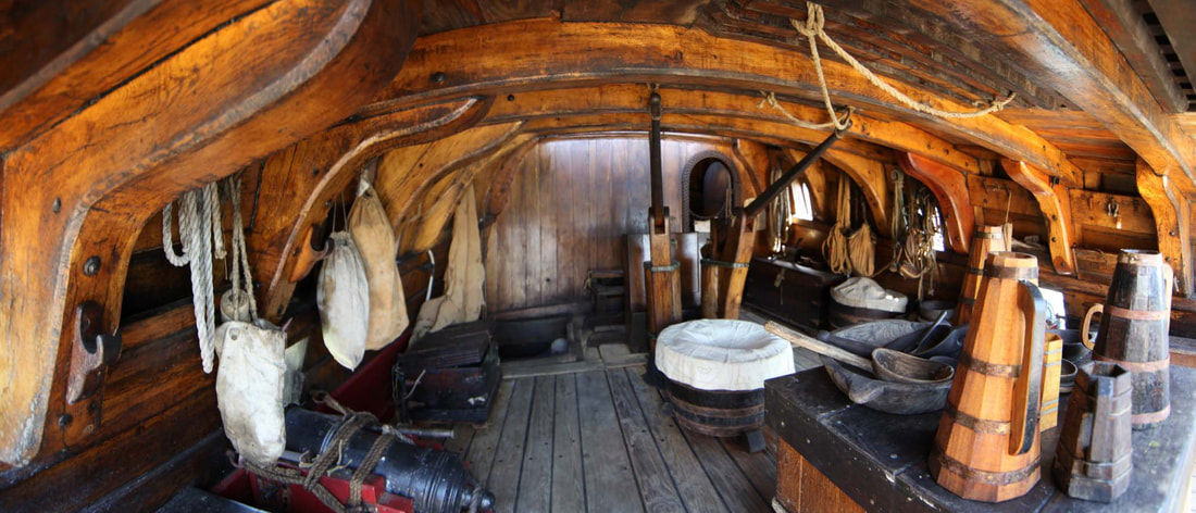
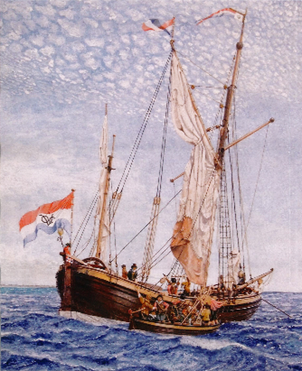
Duyfken 1606 William Janszoon — first European to discover part of Australia - landed on the west coast of Cape York Peninsula, Gulf of Carpentaria.
|
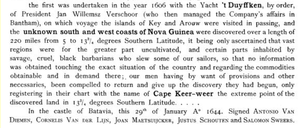
'The first Dutch vessel known to have visited part of the Australian coast was the Duyfken (i.e. the Little Dove), dispatched to examine the coasts and islands of New Guinea. This yacht, which was commanded by Willem Janszoon, was actually in Torres Strait in March 1606, a few weeks before Torres sailed through it. But provisions ran short, and nine of the crew were murdered by natives, who were found to be 'wild, cruel, black savages'; so that the Duyfken did not penetrate beyond Cape Keer-weer (i.e. Cape Turn-again), on the west side of the Cape York Peninsula. Her captain returned in the belief that the south coast of New Guinea was joined to the land along which he coasted, and Dutch maps reproduced this error for many years to come.' [Extracts from 'A Short History of Australia' by Sir Ernest Scott]
|
The Part Borne by the Dutch in the Discovery of Australia 1606-1765, by J. E. Heeres, 1899
|
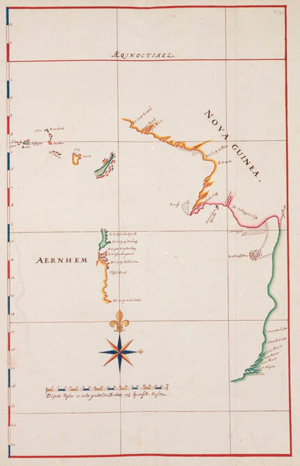
Aernhem 1623 - Captain Willem van Coolsteerd sailed down the eastern side of Cape York Peninsula in company with the Pera. Both vessels had been seized as prizes from the Portuguese. After failing to recognise 'a dried up gulch' for the Torres Strait & damaging the Aernhem's steering gear in a collision at night caused by anchoring the vessels too close together - they parted company near the SE corner of the Gulf.
At night the Aernhem slipped away from the Pera and headed for the Aru Islands - from her decks were charted an unidentifiable part of Arnhem Land coast from a distance and no landing is recorded. It is possible that the yellow area represents the sand dunes from Port Bradshaw to Cape Arnhem & around the bay up to Cape Wilberforce illuminated in the early morning light and that the green section represents the English Company & Wessel Islands which, prior to Flinders, were believed to consist of one large island. The largest island of the Wessels group, Marchinbar, is also known as Great Wessel Island. There were references to the chart seen at left but it was misfiled for nearly 400 years until exhumed from the Vienna Library by a researcher engaged by the Dutch Embassy in Canberra in 2006. It was not a trouble-free VOC excursion and the misinterpretation of the entrance to Torres Strait as a dried up river mouth suggests very low sea levels - possibly associated with the Mini Ice Age experienced in Europe at this time. The Strait is between 7m & 15m deep and it is possible that sufficient material built up at the western end to give the appearance of a beach whilst a substantial body of intermittent water lay behind. All of the Top End is very shallow and Aboriginal oral history tells the route taken by people wading from Milingimbi to Elcho Island. Tasman reported the same situation as the Arnhem & Pera but it would take a program of OSL dating to unravel the true story. [Brian Fagan - The Little Ice Age - How Climate made History 1300-1850] |
|
1636 Commander Gerrit Thomasz Pool and merchant Pieter Pieterszoon - in the Wesel and Klein Amsterdam - charted the northern coast of the Southland, with instructions to search for the two boys marooned on the mainland by Pelsaert in 1629 after hanging some of the other Batavia mutineers. Pieterzoon anchored in and may have gone ashore at Tinganoo Bay on the eastern end of Melville Island.
Wesel - prefabricated in Amsterdam - shipped out and re-constructed in Batavia - the Wesel was not suited to the work being open to the sun and the rain as well as too broad in the beam for the shallow seas of north Australia. She was not used for survey work again but was written into the nautical chart of Australia by Flinders as the Wessel Islands.
Klien Amsterdam - Prefabricated - ID575 - 3rd Rate
Prefabricated - ID575 - 3rd Rate
'1644 Abel Tasman & cartographer Franchoijs Visscher - coined phrase New Holland' for coast from Cape York to perhaps Ashburton River south of Onslow in WA.
|
|
Zeemeeuw
|
Limmen
|
Bracq
|
1705 under command of Commander Maartenvan Delft landed at Karslake Melville Island - 23 April 1705
|
Vossenbosch
|
Wajer
|
Nova Hollandia
|
The British
|
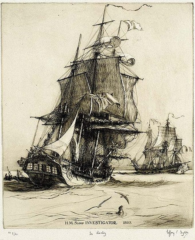
HMS Investigator
|
HMS Cumberland
|
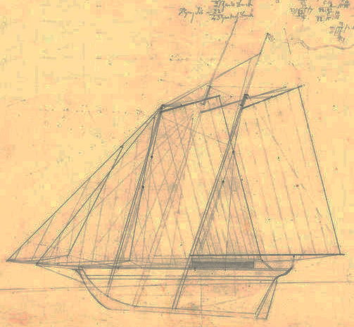
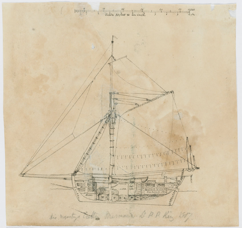
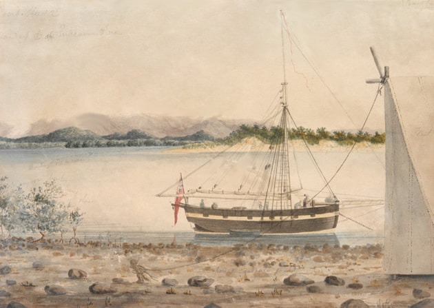
HMC Mermaid
Fort Dundas - Melville Island
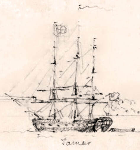
The view is looking NW from the south bastion - the north bastion is at right with the Lady Nelson partly obscured. To the left of her lies the transport ship the Countess of Harcourt. In centre foreground is the Commissariat Store with a thatched roof. In the background are mangroves and a beach - behind which is indicated Garden Point. To the left is HMS Tamar with Point Brace behind and to the left, across Apsley Strait, is a sandy beach on Bathurst Island.
|
The Lady Nelson
|
The Stedcombe
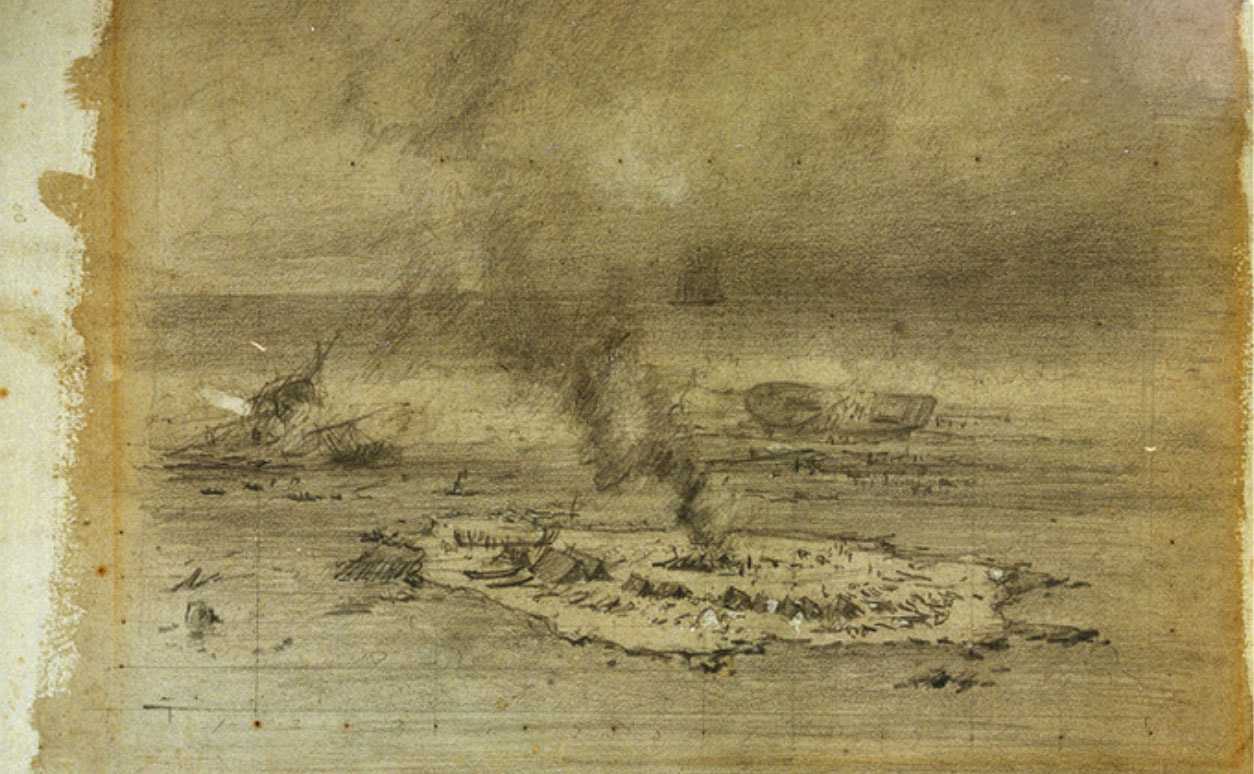
The Schooner Stedcombe 128 tons, - launched Lyme Regis 27/04/1818. Traded between London and Cape of Good Hope, and the Cape and the Dutch East Indies. Owned by Palmer, Wilson & Co. under command Capt. Barnes. She left Fort Dundas 23/2/1825 under 1st Mate Mr. Bastell. Capture by pirates, driven ashore & burned. Two survivors, one rescued Joseph Forbes 17 years later.
|
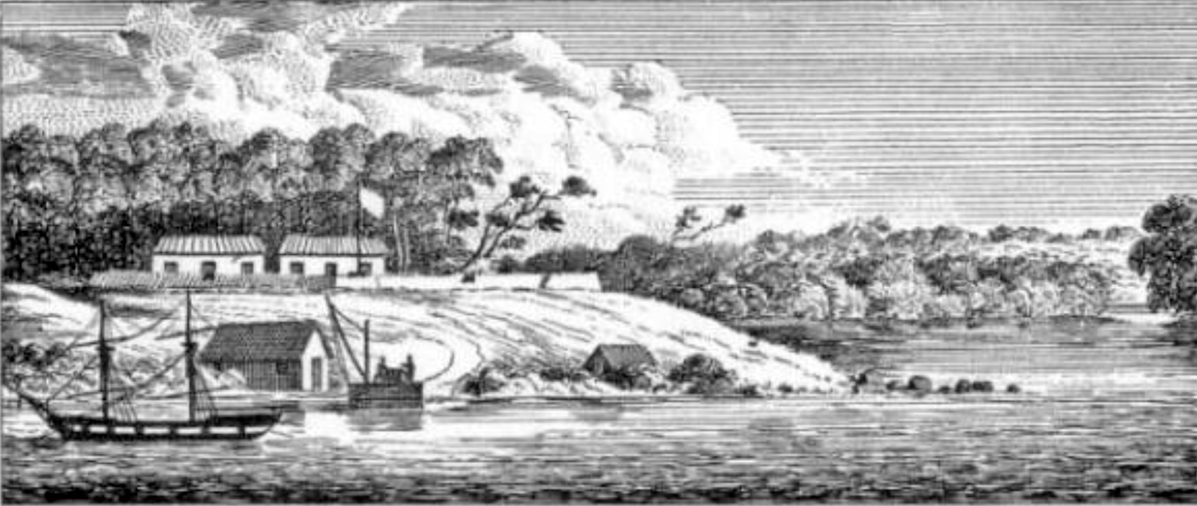
Fort Wellington - Raffles Bay
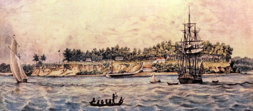
Dumont d'Urville visited Raffles Bay in the corvettes Astrolabe and Zelee between 27 March and 6 April 1839 - a decade after the fort was abandoned.
HMS Success
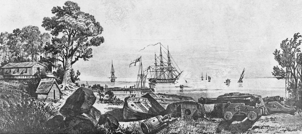
Fort Victoria - Port Essington
|
HMS Britomart
|
HMS Orontes
|
|
HMS Beagle
|
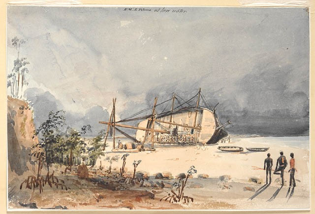
HMS Pelorus
|
|
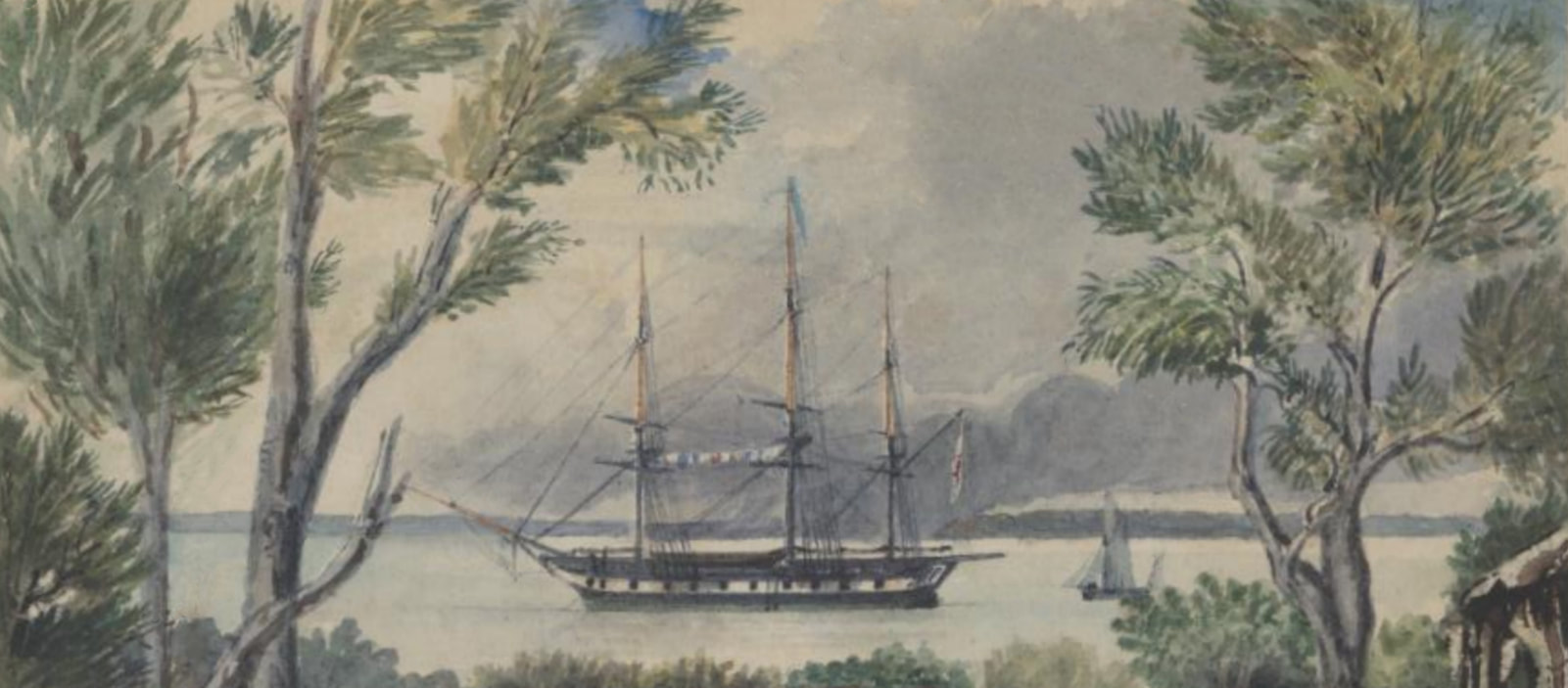
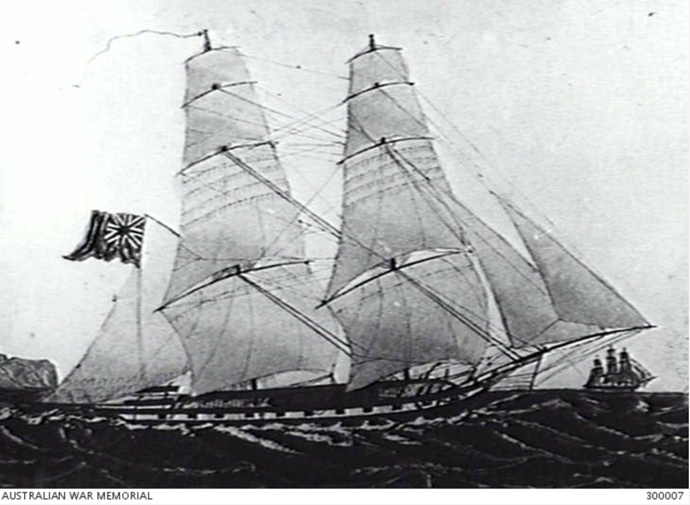
“STARBOARD SIDE REPRESENTATION OF THE BRIG SLOOP HMS PELORUS WHICH WAS BASED AT SYDNEY FROM 1838 TO 1839. (NAVAL HISTORICAL COLLECTION)” – Apart from her flag there's a slight problem in that the 1st photograph ever taken in Australia was in 1841 by visiting mariner Capt. Lucas. Elsewhere the AWN asserts that Thomas Wingate, 1st Regiment New South Wales Rifle Volunteers, Victoria Barracks, 1861 is the oldest in their collection.
|
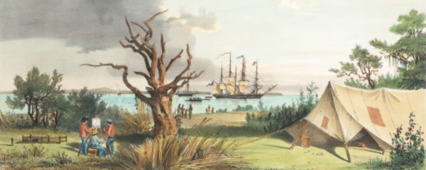
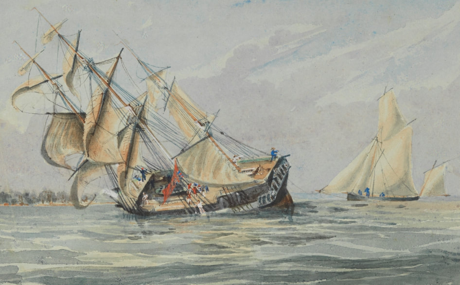
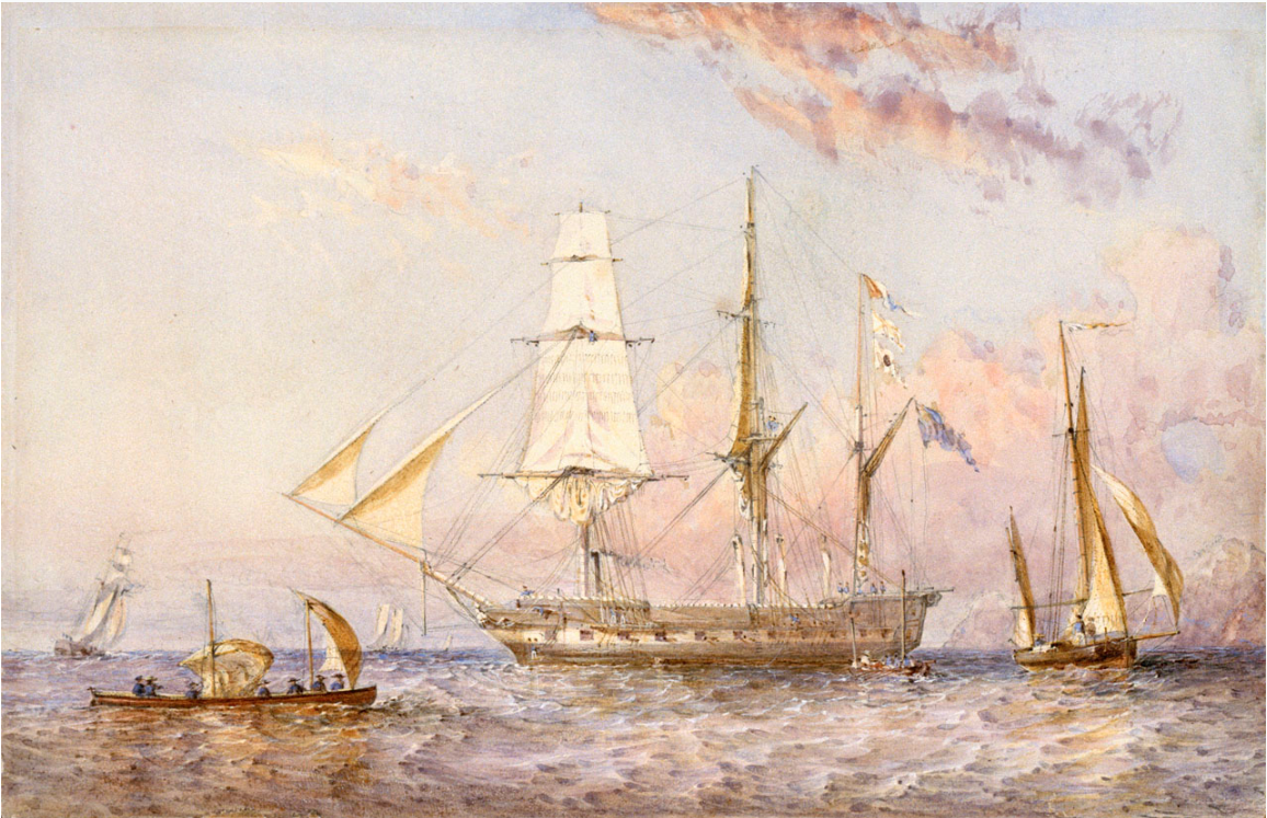
H.M.S. Rattlesnake, leaving Port Essington, Novr 17th, 1848. Watercolour. 4 1/4" x 7 3/4". Signed lower left corner 'Oswald W. Brierly' in ink. Titled in ink on mount. SLNSW Owen Stanley - Voyage of H.M.S. Rattlesnake : Vol. I Stanley, Owen, 1811-1850 1846-1849 SAFE/PXC 281
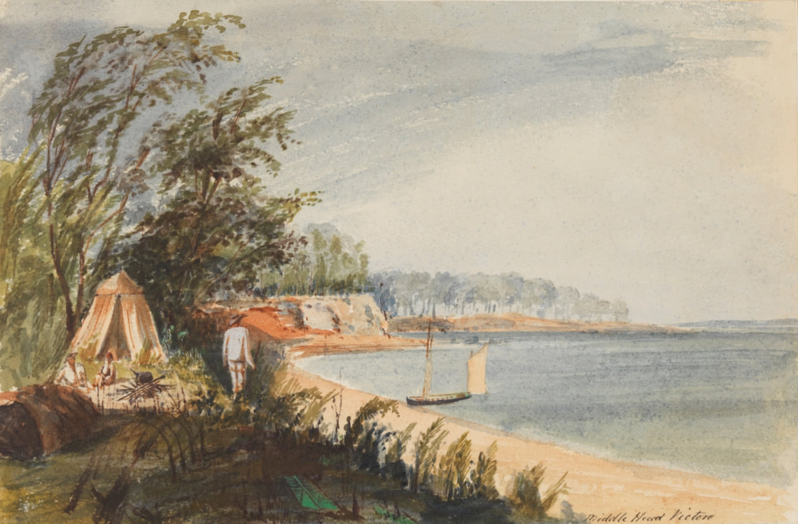
This unusual for Stanley - the banana leaf as they aren't native to Port Essington & don't grow anywhere on clifftops though the green is a Stanley colour, medieval tent, uniform whirlies - slouch hats, 'Victori' & the forgotten spanker on the grounded boat - the woman with the red hair - an unconvincing composition.
Escape Cliffs
Beatrice
Henry Ellis
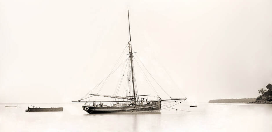
Yatala
The Forlorn Hope
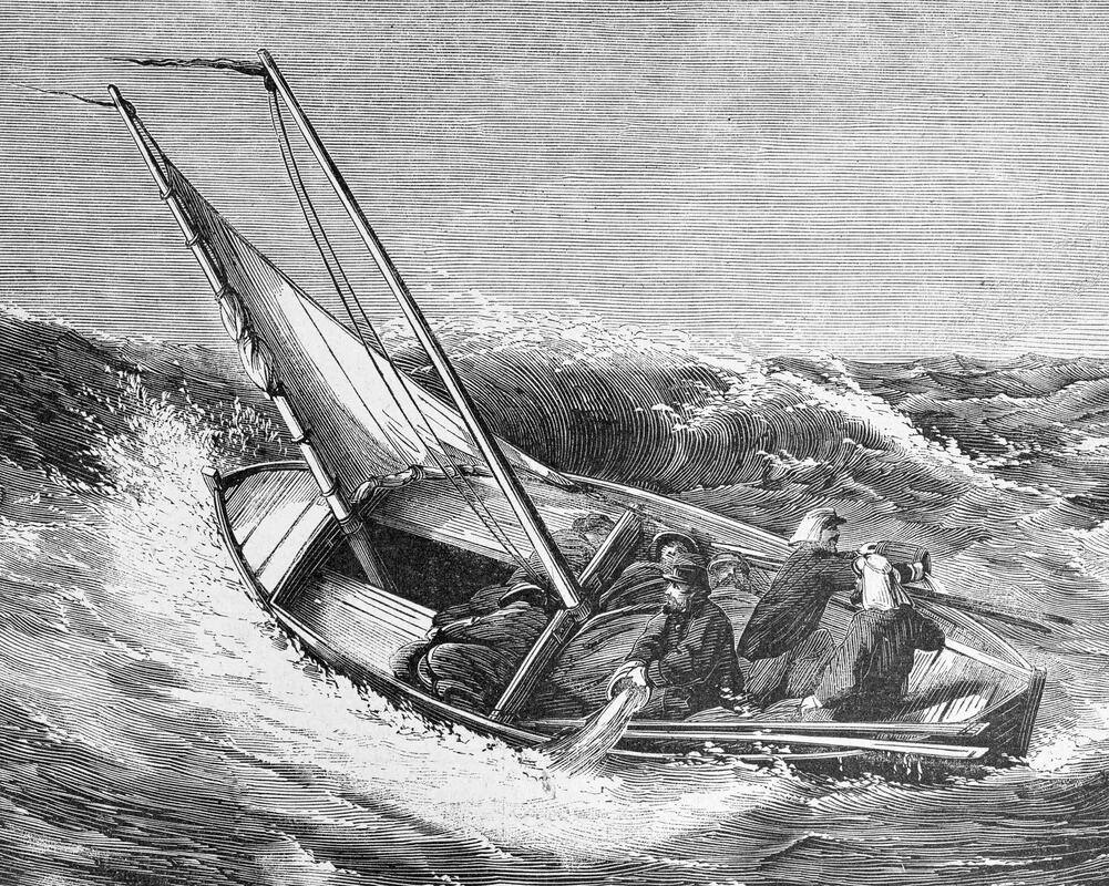
Escape from Escape Cliffs -
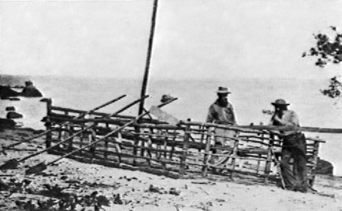
The Horse Hide Boat
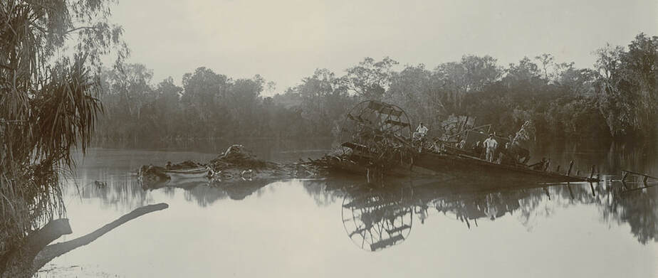
Eagle Cadell's paddle steamer
There is no image of the Eagle -
Tom Tough & Monarch - Baines Gregory Expedition
Goyder - Port Darwin
|
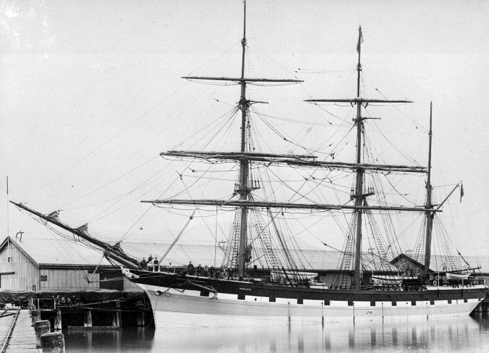
Moonta - 627 tons - 1847 US built 3 masted, all square rigged ship carried Goyder & Party to Darwin in 1869 - broken up in 1900.
Midge - Carried by Gulnare - a steam launch - to ferry Goyder's men around. Steam that made Port Darwin a viable harbour.
|
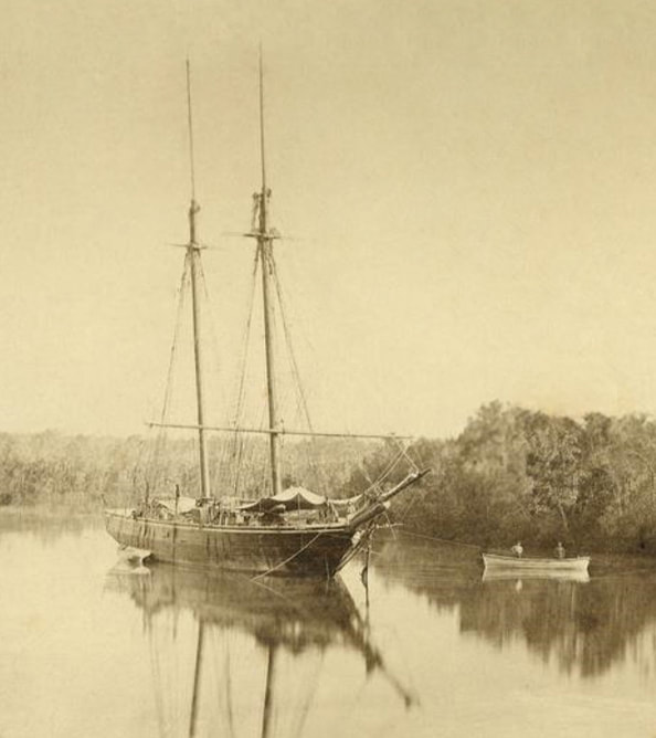
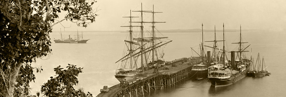
HMGS Gulnare - a 150 ton 2 masted schooner - she was supply ship to Goyder's 1869 expedition to Port Darwin. Once a slaver in the Carribbean, in 1870 she delivered the 1st Govt Resident, Bloomfield Douglas. Samuel Sweet was Captain and the mate H.R. Marsh, became Capt. of Flying Cloud. Oct. 1871 she grounded at the Vernons - dragged off by the Bengal she returned to Darwin & was condemned.
|
The Stock Fleet
A fleet of ships that began in Adelaide and grew as it travelled eastwards, collecting livestock and stores to save the hundreds of starving men caught by the Wet season, during the construction of the Overland Telegraph Line. The men were saved - so was the OT Line & the 30 year old colony of South Australia.
|
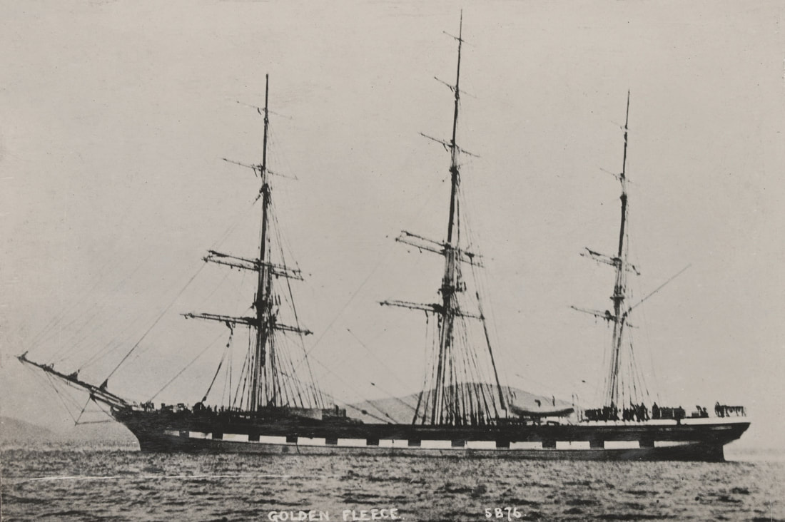
Golden Fleece 1900 tons
|
Himalaya 1100 tons
|
Omeo
|
|
Antipodes 494 tons - Barque built in Holland
|
Laju 556 tons
|
The Telegraph Fleet
|
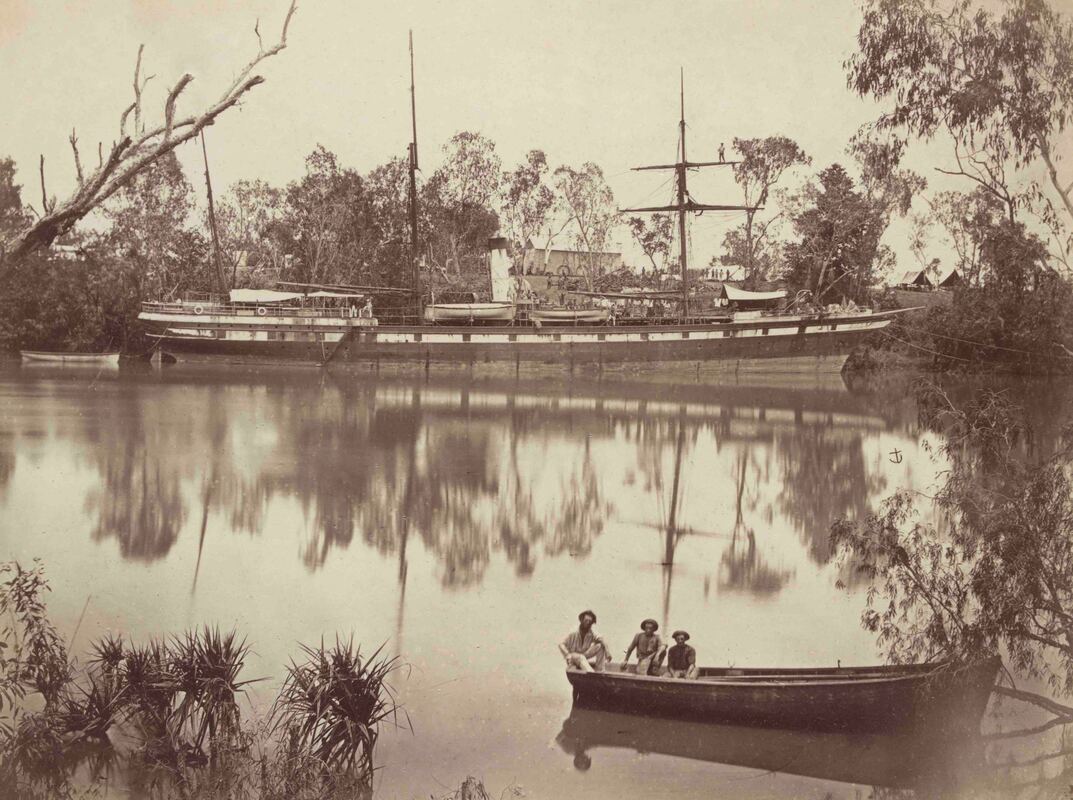
Gulnare
|
Bengal
|
Hibernia
|
Investigator
|
Edinburgh
|
The Young Australian
Flying Cloud
WWI
Between the Wars
Huddersfield - The Snail of the Sea
HMAS Geranium
HMAS Larrakia
Gothenburg
Ellen Gowan
Sri Pas Sair
Douglas Mawson
Jap spy training ship
Noosa - ditto Steadfast ships
WWII
HMAS Vigilant
HMAS St Francis
USS Peary
The British Motorist
HMAS Patricia Cam
HMAS Deloraine
Quail
HMAS Kuru
Florence D
The Don Isidro
HMAS Armidale
Krait
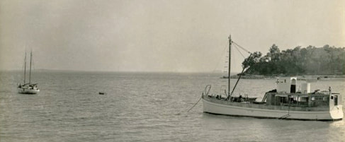
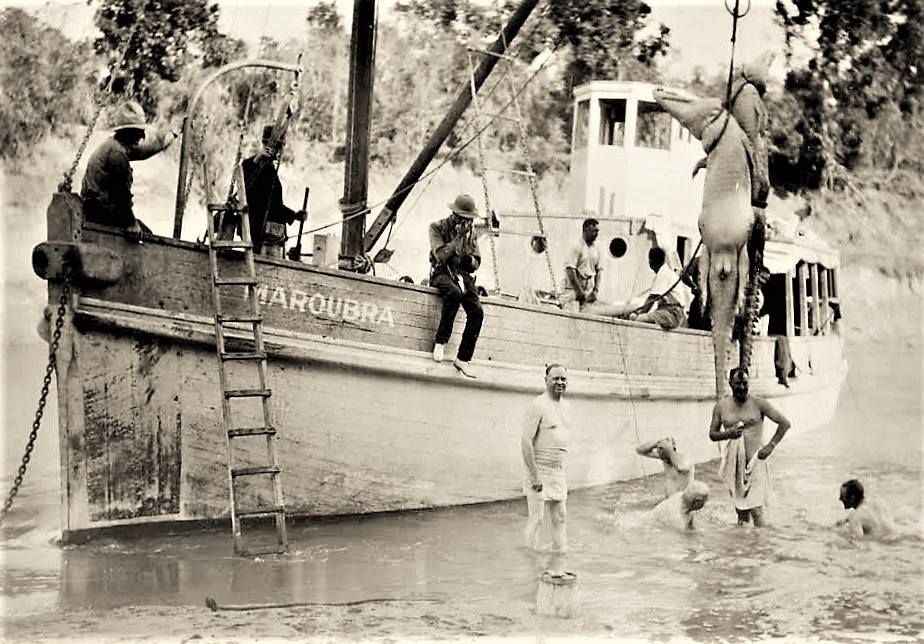
HMAS Maroubra
| steadfast_ships_maroubra___noose_e._hill_1933.pdf | |
| File Size: | 2031 kb |
| File Type: | |
Post War
Margaret Mary - lost in a storm on trip to Port Keats - inexperienced crew (Sr Ann)
McBride
Larrpan
Aroetta
The Pat - Paspaley 1st lugger
Sea Fox
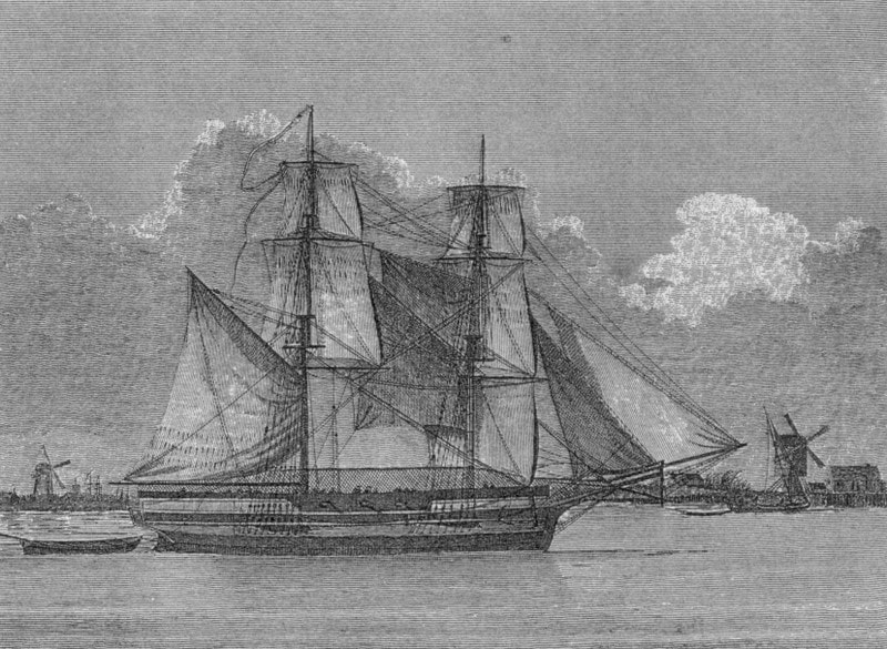
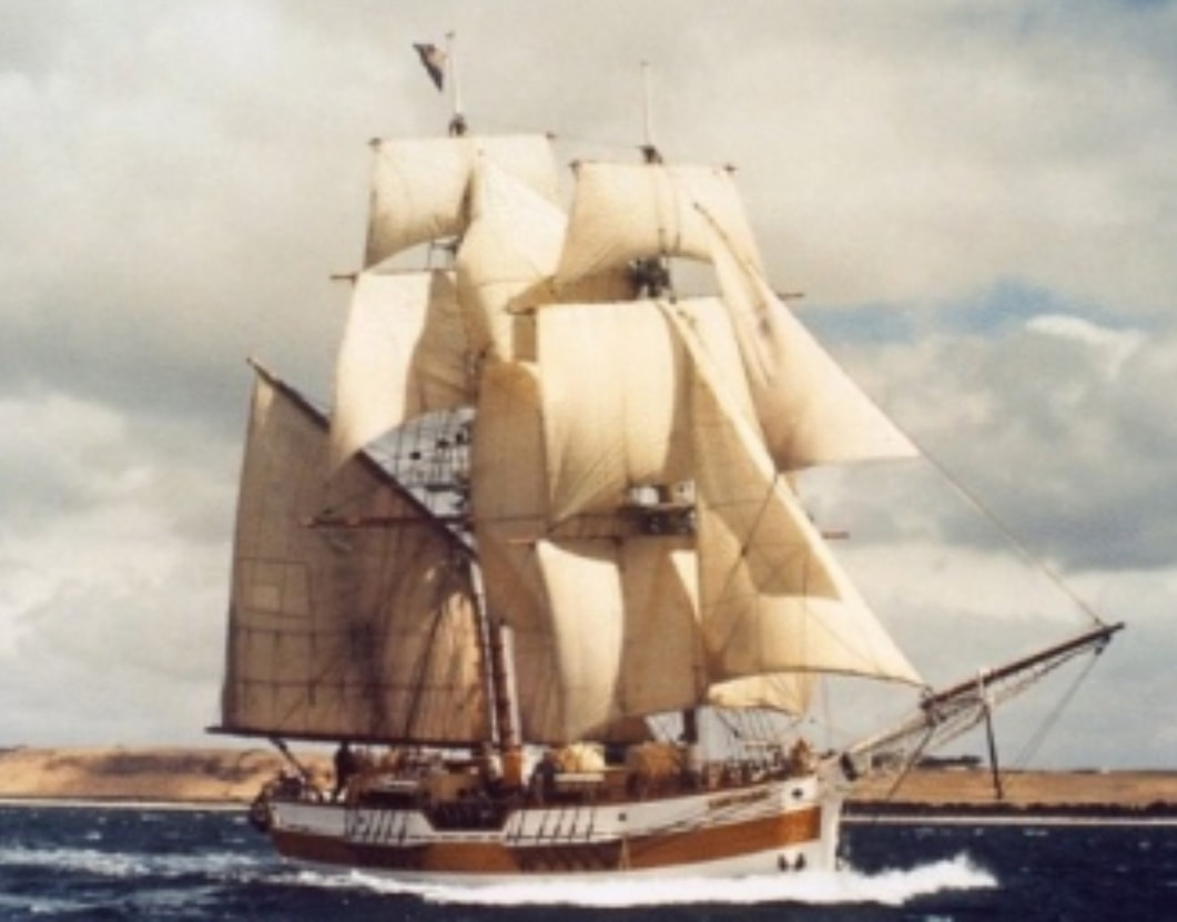
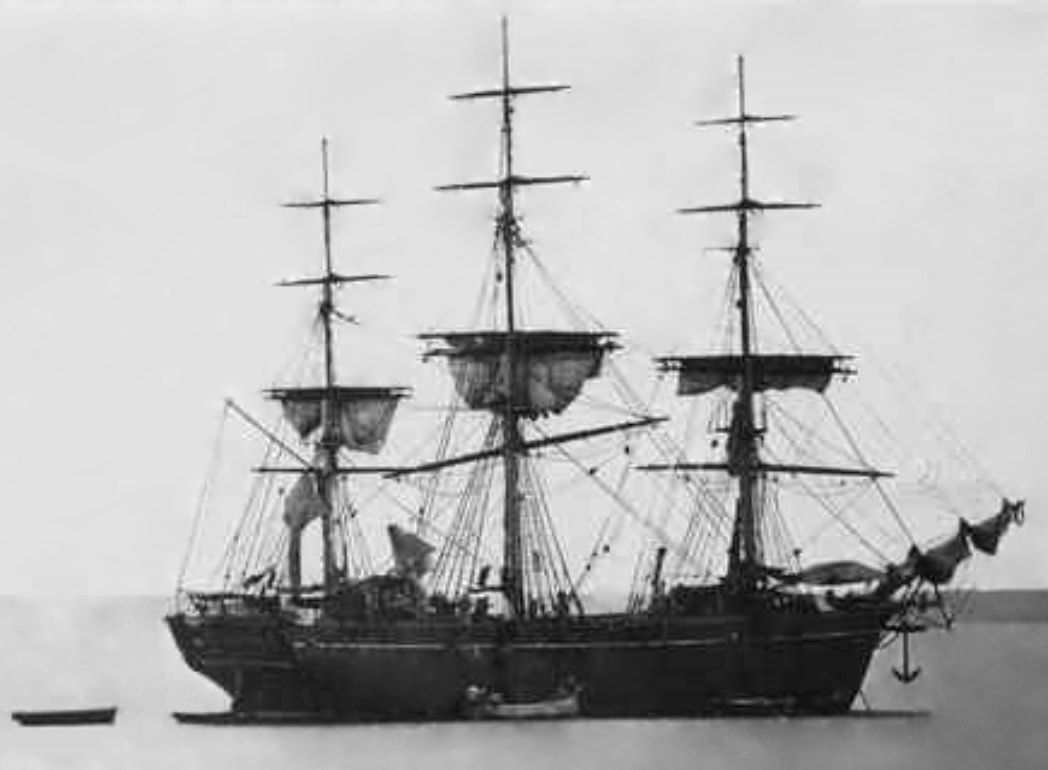
A vessel is defined as a ship if it is fully square rigged (with transversely set square sails) on three masts or more. A brig has two masts, both square-rigged but with a fore-and-aft driver on the main (after) mast as well. A bark has three masts: fore, main, and mizzen. [H.M.S. Beagle, 1820–1870; K. Thomson – American Scientist 2014 V.102 No. 3]
